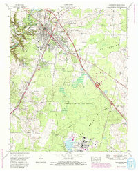
1972 Map of Manchester
USGS Topo · Published 1993About this map
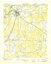
The Duck River and its fork, the Little Duck River, converge at the prehistoric site of Old Stone Fort State Park, which anchor the landscape just west of Manchester. This 1972 survey, with revisions to the military reservation updated through the early 1990s, documents the expansion of industrial and defense infrastructure in Coffee County. The southern portion is dominated by the sprawling Arnold Air Force Base, showing a complex network of restricted areas, test cells, and water management features like the AEDC Water Tank.
Find a feature on this map
79 named features on this map. Tap any name to fly to it.
Don’t see what you’re looking for? This feature index may not catch every label — zoom into the map to look around manually.
Map Details
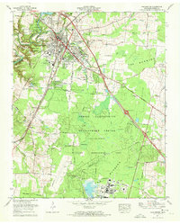
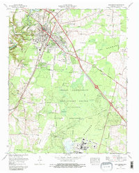
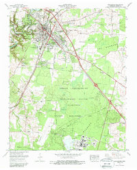
Editions of this 1972 Manchester Map
4 editions found
Other maps of this area

1893 · Mc Minnville
USGS Topo · 1:125,000

1895 · Mc Minnville
USGS Topo · 1:125,000

1895 · Sewanee
USGS Topo · 1:125,000

1913 · Hollow Springs
USGS Topo · 1:62,500

1936 · Ovoca
USGS Topo · 1:24,000

1936 · Alto
USGS Topo · 1:24,000

1936 · Fredonia
USGS Topo · 1:24,000
1936 · Manchester
USGS Topo · 1:24,000

1936 · Noah
USGS Topo · 1:24,000
1936 · Morrison
USGS Topo · 1:24,000