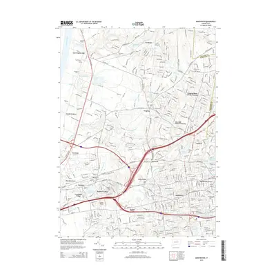
2015 Map of Manchester
USGS Topo · Published 2015About this map
Manchester and its surrounding villages are characterized by a dense suburban and industrial network where the Hockanum River and its numerous tributaries, such as Bigelow Brook and Lydall Brook, converge. The landscape is a complex weave of residential developments like Mayberry Village and Oxford Village alongside institutional anchors including Manchester Community College and Goodwin College. In the northern reaches, the area near East Windsor Hill and Wapping retains a different character, marked by a high concentration of established burial grounds like the East Windsor Hill Cemetery and Rye Street Cemetery.
Find a feature on this map
347 named features on this map. Tap any name to fly to it.
Don’t see what you’re looking for? This feature index may not catch every label — zoom into the map to look around manually.
Map Details
Editions of this 2015 Manchester Map
This is the sole edition of this map. No revisions or reprints were ever made.
Other maps of this area

1892 · Hartford
USGS Topo · 1:62,500

1892 · Tolland
USGS Topo · 1:62,500

1892 · Gilead
USGS Topo · 1:62,500

1893 · Middletown
USGS Topo · 1:62,500

1906 · Farmington
USGS Topo · 1:125,000

1921 · Tolland
USGS Topo · 1:62,500

1928 · Windsor Locks
USGS Topo · 1:24,000

1928 · Windsor
USGS Topo · 1:24,000

1928 · Glastonbury
USGS Topo · 1:24,000

1928 · Broad Brook
USGS Topo · 1:24,000