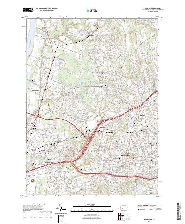
2024 Map of Manchester
USGS Topo · Published 2024About this map
Manchester and East Hartford anchor this dense suburban landscape where the Hockanum River and its numerous tributaries, including Bigelow Brook and Hop Brook, define the drainage of central Connecticut. The map reveals a complex network of established neighborhoods and commercial centers like Buckland and Manchester Green, interspersed with institutional landmarks such as Manchester Community College. Significant topographic features like Wickham Hill and Mt Nebo offer relief from the developed corridors.
Find a feature on this map
392 named features on this map. Tap any name to fly to it.
Don’t see what you’re looking for? This feature index may not catch every label — zoom into the map to look around manually.
Map Details
Editions of this 2024 Manchester Map
This is the sole edition of this map. No revisions or reprints were ever made.
Other maps of this area

1892 · Hartford
USGS Topo · 1:62,500

1892 · Tolland
USGS Topo · 1:62,500

1892 · Gilead
USGS Topo · 1:62,500

1893 · Middletown
USGS Topo · 1:62,500

1906 · Farmington
USGS Topo · 1:125,000

1921 · Tolland
USGS Topo · 1:62,500

1928 · Windsor Locks
USGS Topo · 1:24,000

1928 · Windsor
USGS Topo · 1:24,000

1928 · Glastonbury
USGS Topo · 1:24,000

1928 · Broad Brook
USGS Topo · 1:24,000