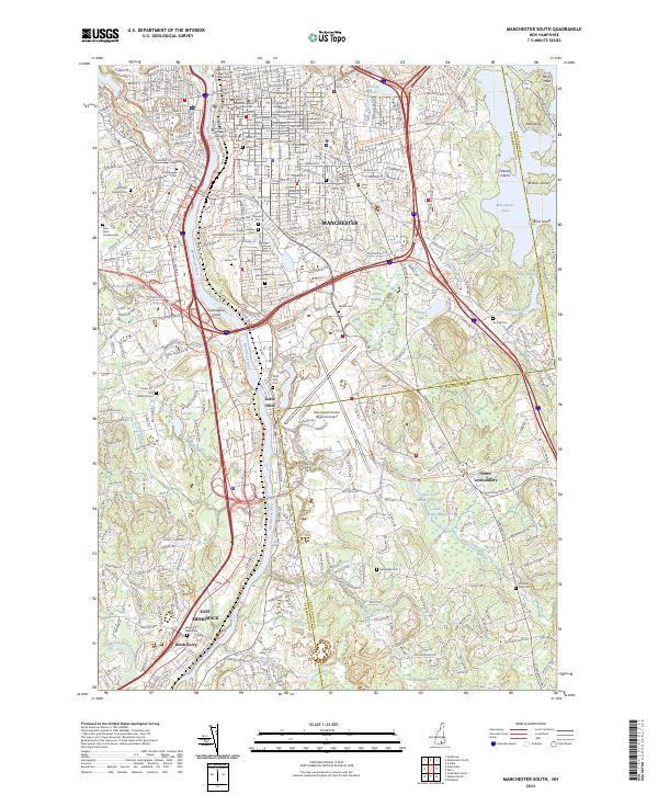
2024 Map of Manchester South
USGS Topo · Published 2024About this map
The Merrimack River serves as the central artery for this region south of Manchester, where industrial history and modern infrastructure meet. The river passes Carthagina Island and the falls at Goffs Falls, a settlement that retains its distinct character alongside the Manchester Boston Regional Airport. To the east, the landscape transitions from the urban density of the Hillsborough County Courthouse vicinity to the large expanse of Massabesic Lake and the wetlands of the Great Cohas Swamp.
Find a feature on this map
58 named features on this map. Tap any name to fly to it.
Don’t see what you’re looking for? This feature index may not catch every label — zoom into the map to look around manually.
Map Details
Editions of this 2024 Manchester South Map
This is the sole edition of this map. No revisions or reprints were ever made.
Other maps of this area

1905 · Manchester
USGS Topo · 1:62,500

1906 · Milford
USGS Topo · 1:62,500

1921 · Suncook
USGS Topo · 1:62,500

1927 · Concord
USGS Topo · 1:62,500

1941 · Manchester
USGS Topo · 1:62,500

1943 · Lowell
USGS Topo · 1:125,000

1943 · Fitchburg
USGS Topo · 1:125,000

1944 · Suncook
USGS Topo · 1:62,500

1948 · Boston
USGS Topo · 1:250,000

1949 · Portland
USGS Topo · 1:250,000