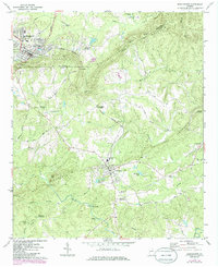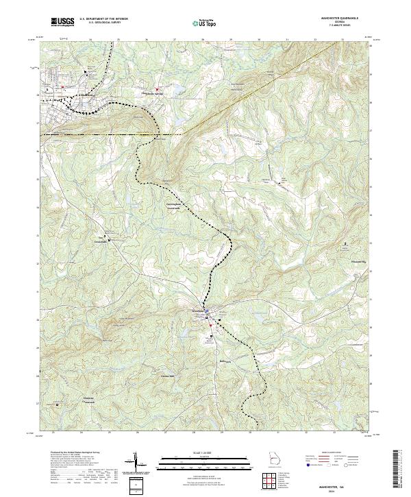
2024 Map of Manchester
USGS Topo · Published 2024About this map
Manchester and Woodland serve as the primary population centers in this portion of Meriwether and Talbot Counties, separated by the prominent rise of Pine Mountain. The landscape is defined by a dense network of gaps and ridges, including Milen Gap, Dunn Gap, and Stephenson Gap, which dictate the local road patterns. Rural life is anchored by established nodes like Cunningham Crossroads and Tax Crossroads, alongside numerous spiritual centers such as New Hope Baptist Church and Woodland Presbyterian Church. The hydrography of the region is equally complex, featuring several local impoundments like Pine Mountain Foundation Lake and Ransome Lake, while Greens Mill stands as a testament to the area's agricultural and industrial history along the banks of Laser Creek. For those tracing family history, the map provides precise locations for several graveyards, including Macedonia Baptist Cem and Miller-Holmes Cem.
Find a feature on this map
121 named features on this map. Tap any name to fly to it.
Don’t see what you’re looking for? This feature index may not catch every label — zoom into the map to look around manually.
Map Details
Editions of this 2024 Manchester Map
This is the sole edition of this map. No revisions or reprints were ever made.