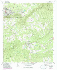
1971 Map of Manchester
USGS Topo · Published 1986About this map
Pine Mountain and Oak Mountain dominate this West Georgia landscape, creating a series of strategic gaps such as Johnson Gap, Millen Gap, and Stephenson Gap. The topographic detail reveals how the Seaboard Coast Line railroad navigated this difficult terrain, skirting the ridges to connect the industrial center of Manchester with the smaller agricultural communities of Woodland and Chalybeate Springs. Rural life is meticulously documented through local landmarks like Valley Grove Ch, Evans Chapel, and the Woodall Sch, alongside small family sites like the Anderson Ready Cem.
Find a feature on this map
55 named features on this map. Tap any name to fly to it.
Don’t see what you’re looking for? This feature index may not catch every label — zoom into the map to look around manually.
Map Details
Editions of this 1971 Manchester Map
2 editions found
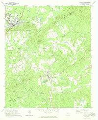
Other maps of this area

1907 · Talbotton
USGS Topo · 1:125,000

1934 · Warm Springs
USGS Topo · 1:62,500

1935 · Thomaston
USGS Topo · 1:48,000

1936 · Warm Springs
USGS Topo · 1:62,500

1939 · Thomaston
USGS Topo · 1:62,500

1950 · Talbotton
USGS Topo · 1:24,000

1950 · Waverly Hall
USGS Topo · 1:24,000

1950 · Talbotton
USGS Topo · 1:62,500

1955 · Talbotton
USGS Topo · 1:24,000
1955 · Waverly Hall
USGS Topo · 1:24,000