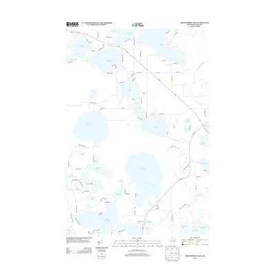
2013 Map of Manitowish Lake
USGS Topo · Published 2013About this map
Glacial waters and protected lands characterize this portion of Vilas County, where the Indian Reservation encompasses a vast network of interconnected lakes and rivers. The Trout River serves as a central artery, winding through the landscape to link Manitowish Lake, Alder Lake, and Wild Rice Lake. This water-dominant geography supported a mid-century development of seasonal camps and recreational infrastructure, evidenced by the presence of Camp Nawakwa, East Camp Nawakwa, and Camp Wipigaki situated near Big Crooked Lake.
Find a feature on this map
96 named features on this map. Tap any name to fly to it.
Don’t see what you’re looking for? This feature index may not catch every label — zoom into the map to look around manually.
Map Details
Editions of this 2013 Manitowish Lake Map
This is the sole edition of this map. No revisions or reprints were ever made.
Other maps of this area

1938 · Minocqua
USGS Topo · 1:48,000

1938 · Lac Du Flambeau
USGS Topo · 1:48,000

1939 · Trout Lake
USGS Topo · 1:48,000

1939 · Lac Du Flambeau
USGS Topo · 1:48,000

1939 · Winchester
USGS Topo · 1:48,000

1946 · Winchester
USGS Topo · 1:48,000

1946 · Minocqua
USGS Topo · 1:48,000

1946 · Lac Du Flambeau
USGS Topo · 1:48,000

1946 · Trout Lake
USGS Topo · 1:48,000

1949 · Trout Lake
USGS Topo · 1:48,000