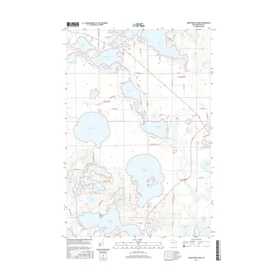
2015 Map of Manitowish Lake
USGS Topo · Published 2015About this map
Manitowish Lake and its surrounding water network dominate this Northwoods landscape within the Lac du Flambeau region. The map documents a dense concentration of glacial lakes, including the expansive Ike Walton Lake and Wild Rice Lake, connected by the winding Manitowish River and Trout River. The intricate shoreline is defined by named landforms such as Catfish Point and the saturated Bowell Marsh. Residential and recreational development is evidenced by a detailed grid of local routes like Ave of Birches and Rainbow Ln, showing how the area has evolved around its primary natural resource. Genealogists and researchers can trace specific properties along Alder Lake or the more secluded White Sand Lake, where smaller bodies like Sunfish Lake and Zee Lake are tucked into the interior terrain.
Find a feature on this map
94 named features on this map. Tap any name to fly to it.
Don’t see what you’re looking for? This feature index may not catch every label — zoom into the map to look around manually.
Map Details
Editions of this 2015 Manitowish Lake Map
This is the sole edition of this map. No revisions or reprints were ever made.
Other maps of this area

1938 · Minocqua
USGS Topo · 1:48,000

1938 · Lac Du Flambeau
USGS Topo · 1:48,000

1939 · Trout Lake
USGS Topo · 1:48,000

1939 · Lac Du Flambeau
USGS Topo · 1:48,000

1939 · Winchester
USGS Topo · 1:48,000

1946 · Winchester
USGS Topo · 1:48,000

1946 · Minocqua
USGS Topo · 1:48,000

1946 · Lac Du Flambeau
USGS Topo · 1:48,000

1946 · Trout Lake
USGS Topo · 1:48,000

1949 · Trout Lake
USGS Topo · 1:48,000