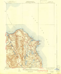
1937 Map of Manomet
USGS Topo · Published 1942About this map
The coastal shelf of Plymouth meets the Atlantic in this pre-war survey, centered on the village of Manomet and the specialized agriculture of the Massachusetts shore. The landscape is defined by its cranberry industry, prominently featuring the Beaverdam Cranberry Bogs, Maple Swamp Bog, and Indian Brook Bog, showing the intricate water management required for these harvests. Along the coastline, leisure and maritime safety coexist, with the Plymouth Country Club occupying the northern heights while the Coast Guard Sta keeps watch from Manomet Pt. Inland, the terrain rises toward the Pine Hills, where landmarks like Telegraph Hill and Manomet Hill provided early mariners with navigational bearings. A network of early roads such as Sandwich Road and Warren Avenue connects coastal landings like Fishermans Ldg to established residential pockets at Priscilla Beach and White Horse Beach.
Find a feature on this map
44 named features on this map. Tap any name to fly to it.
Don’t see what you’re looking for? This feature index may not catch every label — zoom into the map to look around manually.
Map Details
Editions of this 1937 Manomet Map
3 editions found
Other maps of this area

1885 · Duxbury
USGS Topo · 1:62,500

1886 · Plymouth
USGS Topo · 1:62,500

1888 · Duxbury
USGS Topo · 1:62,500

1889 · Plymouth
USGS Topo · 1:62,500

1893 · Duxbury
USGS Topo · 1:62,500

1894 · Plymouth
USGS Topo · 1:62,500

1918 · Duxbury
USGS Topo · 1:62,500
1921 · Plymouth
USGS Topo · 1:62,500
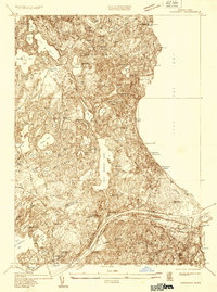
1933 · Sagamore
USGS Topo · 1:24,000
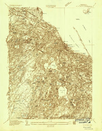
1934 · Plymouth
USGS Topo · 1:24,000
Featured Places
- Plymouth, MA
- Priscilla Beach, Plymouth
- Manomet Heights, Plymouth
- Churchill Landing, Plymouth
- Fishermans Landing, Plymouth