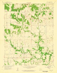
1958 Map of Mantey
USGS Topo · Published 1959About this map
Mantey serves as the central focal point for this late 1950s study of the borderlands between Linn and Bourbon Counties. The landscape is defined by the winding course of the Little Osage River in the south and Elk Creek in the north, showing a rural economy in transition. Notable for local historians are the indicators of earlier community life, such as the Pleasant Valley Sch and White Sch, both recorded as abandoned by the time of the 1957 aerial survey. Resource extraction is evident through scattered Oil Wells, a Gravel Pit, and a Strip Mine, contrasting with traditional land markers like the Shaw, Curry, and Elk Creek Cem cemeteries. The terrain labels Timber Hill and Freedom suggest the distinct character of the townships and ridges that shaped early Kansas settlement patterns.
Find a feature on this map
19 named features on this map. Tap any name to fly to it.
Don’t see what you’re looking for? This feature index may not catch every label — zoom into the map to look around manually.
Map Details
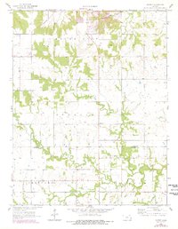
Editions of this 1958 Mantey Map
2 editions found
Other maps of this area

1884 · Fort Scott
USGS Topo · 1:125,000

1886 · Fort Scott
USGS Topo · 1:125,000

1887 · Mound City
USGS Topo · 1:125,000

1893 · Fort Scott
USGS Topo · 1:125,000

1893 · Mound City
USGS Topo · 1:125,000

1947 · Lawrence
USGS Topo · 1:250,000

1947 · Joplin
USGS Topo · 1:250,000

1949 · Joplin
USGS Topo · 1:250,000

1950 · Lawrence
USGS Topo · 1:250,000

1954 · Joplin
USGS Topo · 1:250,000