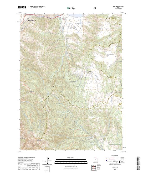
2023 Map of Mantua
USGS Topo · Published 2023About this map
Mantua sits at the heart of this modern topographic survey, surrounded by the high elevations of the Wasatch Range. The settlement is defined by its proximity to the Mantua Reservoir, where local roads like Lake View Dr and E Fish Hatchery Rd trace the shoreline. The geography is characterized by deep drainages and basins, including Balsam Basin and Willard Basin, which feed the various forks of the North Fork Ogden River. To the west, the edge of Brigham City appears at the base of Box Elder Canyon, where the terrain begins its dramatic ascent into the Cache National Forest. High-altitude landmarks such as Willard Mtn and Grizzly Peak provide significant navigational points for the region, while smaller water features like Perry Reservoir and Utaba Reservoir indicate the complex water management system within these mountain valleys.
Find a feature on this map
76 named features on this map. Tap any name to fly to it.
Don’t see what you’re looking for? This feature index may not catch every label — zoom into the map to look around manually.
Map Details
Editions of this 2023 Mantua Map
This is the sole edition of this map. No revisions or reprints were ever made.
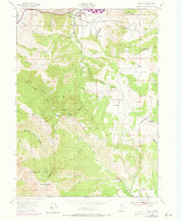
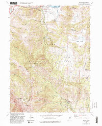
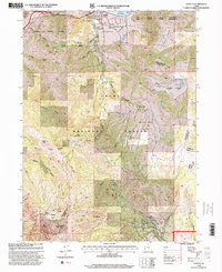
Historical Maps of Mantua Through Time
4 maps found