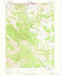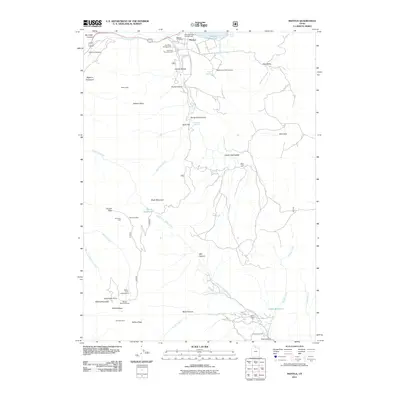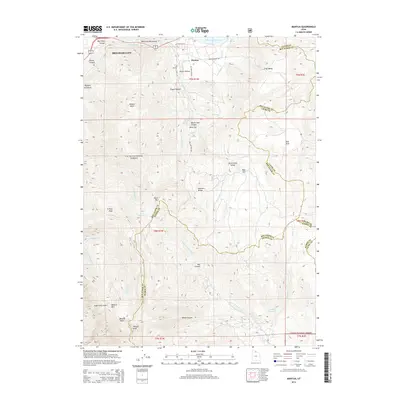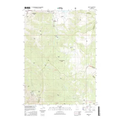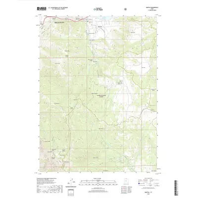
1998 Map of Mantua
USGS Topo · Published 2001About this map
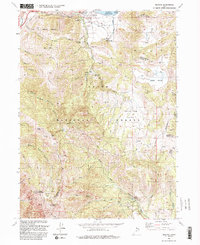
Mantua sits at the edge of the Mantua Reservoir, serving as a gateway to the high peaks and steep drainages of the Cache National Forest. The landscape is a study in verticality, transitioning from the valley floor to prominent summits like Willard Peak and Black Mountain. Human presence in these heights is marked by a history of extraction and recreation, with several mining prospects and named sites such as the Holton Mine, Silver Eagle Mine, and American Mine scattered throughout the rugged canyons.
Find a feature on this map
64 named features on this map. Tap any name to fly to it.
Don’t see what you’re looking for? This feature index may not catch every label — zoom into the map to look around manually.
Map Details
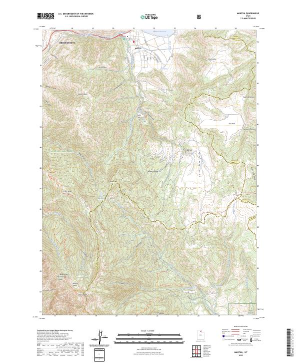
Editions of this 1998 Mantua Map
This is the sole edition of this map. No revisions or reprints were ever made.
Historical Maps of Brigham City Through Time
8 maps found