
1933 Map of Manzana
USGS Topo · Published 1933About this map
Antelope Valley transitions into the steep slopes of Liebre Mountain on this 1933 survey, showing a landscape of early 20th-century ranching and infrastructure. The Los Angeles City Aqueduct cuts across the northern flats, a critical piece of water engineering that supported the growing metropolis to the south. Along the transition from the valley floor to the canyons, several family-named outposts appear, including Pecks Ranch and Neenach Ranch, while the Pine Store and Pine Canyon Sch mark the small community center in Pine Canyon.
Find a feature on this map
41 named features on this map. Tap any name to fly to it.
Don’t see what you’re looking for? This feature index may not catch every label — zoom into the map to look around manually.
Map Details
Editions of this 1933 Manzana Map
This is the sole edition of this map. No revisions or reprints were ever made.
Other maps of this area

1903 · Tejon
USGS Topo · 1:125,000

1915 · Elizabeth Lake
USGS Topo · 1:125,000

1917 · Elizabeth Lake
USGS Topo · 1:125,000

1931 · Warm Spring
USGS Topo · 1:24,000

1931 · Redrock Mtn
USGS Topo · 1:24,000

1932 · Hughes Lake
USGS Topo · 1:24,000

1932 · Fairmont
USGS Topo · 1:24,000

1932 · Neenach
USGS Topo · 1:24,000
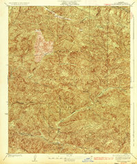
1936 · Warm Spring
USGS Topo · 1:24,000
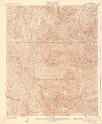
1936 · Redrock Mtn.
USGS Topo · 1:24,000