2024 Map of Maple Park
USGS Topo · Published 2024About this map
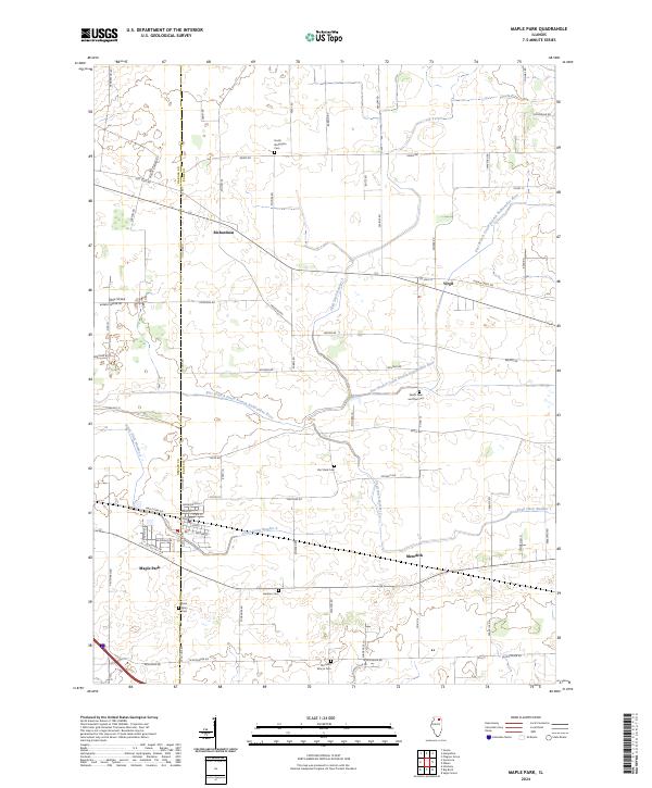
Maple Park sits at the intersection of local history and agricultural heritage, straddling the boundary between DeKalb and Kane counties. The landscape is defined by the winding course of the East Branch South Branch Kishwaukee River and an extensive network of drainage channels, including Union Ditch Number 2 and Virgil Ditch Number 3, which supported the region's long-standing farming economy. Small settlements like Virgil, Richardson, and Meredith are connected by a grid of rural roads named for early settler families, such as Lakin Rd and Peplow Rd.
Find a feature on this map
73 named features on this map. Tap any name to fly to it.
Don’t see what you’re looking for? This feature index may not catch every label — zoom into the map to look around manually.
Map Details
Editions of this 2024 Maple Park Map
This is the sole edition of this map. No revisions or reprints were ever made.