Loading...
Loading map...2024 Map of Mapleton
USGS Topo · Published 2024About this map
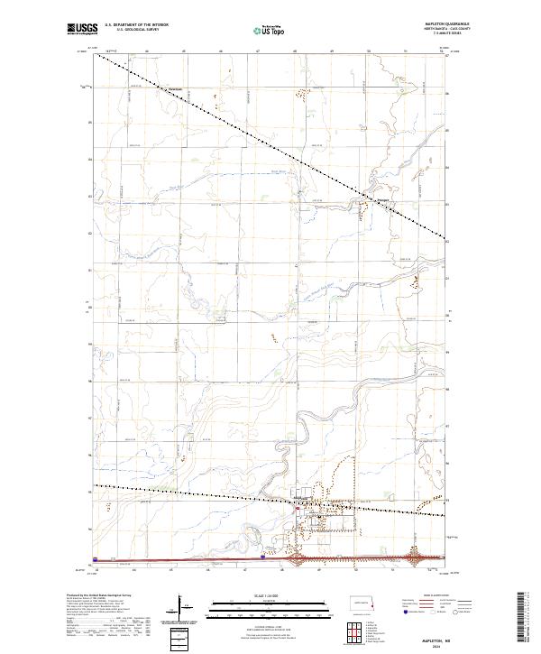
Mapleton anchors this survey of eastern North Dakota, situated where the Maple River meanders across the flat agricultural landscape. The township is characterized by a precise grid of rural roads, including 34th St SE and 164th Ave SE, which connect dispersed settlements like Prosper and Newman. The drainage of the Red River Valley is clearly visible through the winding paths of the Rush River and the Lower Branch Rush River, which cut through the sectioned farmland.
Find a feature on this map
35 named features on this map. Tap any name to fly to it.
Don’t see what you’re looking for? This feature index may not catch every label — zoom into the map to look around manually.
Map Details
Date Portrayed2024
Date Published2024
PublisherU.S. Geological Survey
Map TypeTopographic
Scale1:24000
Physical Dimensions24 x 29 inches
Editions of this 2024 Mapleton Map
This is the sole edition of this map. No revisions or reprints were ever made.
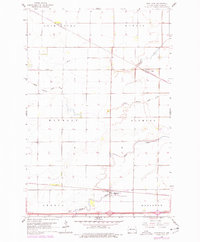
Historical Maps of Mapleton Through Time
Featured Locations
- Durbin Township, ND
- Mapleton, ND
- Mapleton Township, ND
- Newman, Rush River Township
- Prosper, Raymond Township
Source Details
SourceU.S. Geological Survey
CopyrightPublic Domain