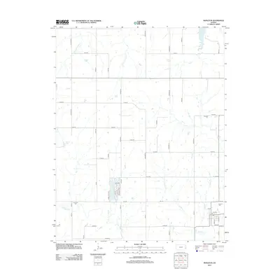
2012 Map of Mapleton
USGS Topo · Published 2012About this map
Mapleton sits at the heart of this Linn County landscape, serving as a focal point for a rural network of farm-to-market roads and watercourses. The town's local post office, labeled Po, is situated near the Mapleton Cem, anchoring the community's history alongside the Little Osage River which winds through the southern portion of the quadrangle. North of the settlement, the terrain is defined by the divided headwaters of the N Fork Little Sugar Cr and S Fork Little Sugar Cr, which bracket Johnson Lake. The map reveals a high concentration of cemeteries including Stevenson Cem and Campbell Cem, providing specific points of interest for genealogists tracing early residents of the area. Small tributaries like Opossum Cr and Bell Br snake through the grid of section lines, illustrating the natural drainage patterns that have historically shaped land use in this part of Kansas.
Find a feature on this map
58 named features on this map. Tap any name to fly to it.
Don’t see what you’re looking for? This feature index may not catch every label — zoom into the map to look around manually.
Map Details
Editions of this 2012 Mapleton Map
This is the sole edition of this map. No revisions or reprints were ever made.
Other maps of this area

1884 · Fort Scott
USGS Topo · 1:125,000

1885 · Garnett
USGS Topo · 1:125,000

1886 · Iola
USGS Topo · 1:125,000

1886 · Fort Scott
USGS Topo · 1:125,000

1887 · Mound City
USGS Topo · 1:125,000

1893 · Fort Scott
USGS Topo · 1:125,000

1893 · Iola
USGS Topo · 1:125,000

1893 · Mound City
USGS Topo · 1:125,000

1894 · Garnett
USGS Topo · 1:125,000

1904 · Iola
USGS Topo · 1:125,000