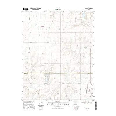
2015 Map of Mapleton
USGS Topo · Published 2015About this map
Mapleton and the winding course of the Little Osage River anchor this topographic survey along the border of Linn and Bourbon counties. The landscape is defined by the convergence of several significant watercourses, including the N Fork Little Sugar Cr and S Fork Little Sugar Cr, which navigate the undulating terrain before joining the larger river system. For local historians and genealogists, the placement of several burial sites like Mapleton Cem, Stevenson Cem, and Campbell Cem provides specific points of interest for tracing early families in this corner of eastern Kansas.
Find a feature on this map
60 named features on this map. Tap any name to fly to it.
Don’t see what you’re looking for? This feature index may not catch every label — zoom into the map to look around manually.
Map Details
Editions of this 2015 Mapleton Map
This is the sole edition of this map. No revisions or reprints were ever made.
Other maps of this area

1884 · Fort Scott
USGS Topo · 1:125,000

1885 · Garnett
USGS Topo · 1:125,000

1886 · Iola
USGS Topo · 1:125,000

1886 · Fort Scott
USGS Topo · 1:125,000

1887 · Mound City
USGS Topo · 1:125,000

1893 · Fort Scott
USGS Topo · 1:125,000

1893 · Iola
USGS Topo · 1:125,000

1893 · Mound City
USGS Topo · 1:125,000

1894 · Garnett
USGS Topo · 1:125,000

1904 · Iola
USGS Topo · 1:125,000