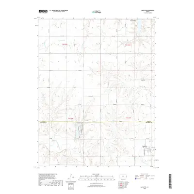
2018 Map of Mapleton
USGS Topo · Published 2018About this map
Mound City and Mapleton anchor the northern and southern reaches of this Kansas borderland landscape, where the headwaters of the Little Osage River flow through the southern portion of the sheet. The terrain is defined by a dense network of watercourses including the N Fork Little Sugar Cr and S Fork Little Sugar Cr, which cut through the undulating hills near Johnson Lake. The boundary between Linn Co and Bourbon Co bisects the area, highlighting the rural transition between these two counties. Local history is preserved in several small burial grounds, such as Campbell Cem and Stevenson Cem, which are tucked away from the main thoroughfares like Kelly Rd and Ellington Rd. The map reveals a highly structured grid of section roads that provide access to the various creek valleys, from Irish Cr to Lost Cr, illustrating the persistent agricultural patterns of the region.
Find a feature on this map
63 named features on this map. Tap any name to fly to it.
Don’t see what you’re looking for? This feature index may not catch every label — zoom into the map to look around manually.
Map Details
Editions of this 2018 Mapleton Map
This is the sole edition of this map. No revisions or reprints were ever made.
Other maps of this area

1884 · Fort Scott
USGS Topo · 1:125,000

1885 · Garnett
USGS Topo · 1:125,000

1886 · Iola
USGS Topo · 1:125,000

1886 · Fort Scott
USGS Topo · 1:125,000

1887 · Mound City
USGS Topo · 1:125,000

1893 · Fort Scott
USGS Topo · 1:125,000

1893 · Iola
USGS Topo · 1:125,000

1893 · Mound City
USGS Topo · 1:125,000

1894 · Garnett
USGS Topo · 1:125,000

1904 · Iola
USGS Topo · 1:125,000