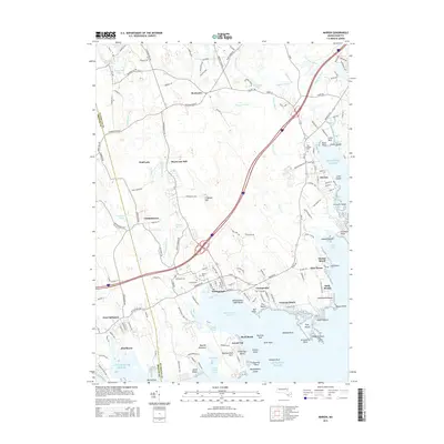
2015 Map of Marion
USGS Topo · Published 2015About this map
The coastal landscapes of Buzzards Bay are captured here in high detail, showcasing the historic maritime and agricultural centers of Marion and Mattapoisett. The geography is defined by a series of coves and points, with the Sippican River and Mattapoisett River feeding into the Atlantic Ocean. Local history is preserved in labels for Sturtevant Mill and Alms House, alongside several family and community resting places such as Barlow Cem and Old Landing Cem. The map illustrates the development of the region from established villages like Rochester and Tinkhamtown to coastal residential pockets including Crescent Beach and Point Connett. Notable landmarks like Ned Point and the sheltering waters of Eel Pond highlight the area's long-standing connection to the sea, while the interior shows the transition from wooded hills like Tinkham Hill to the wetlands surrounding Wolf Lake.
Find a feature on this map
178 named features on this map. Tap any name to fly to it.
Don’t see what you’re looking for? This feature index may not catch every label — zoom into the map to look around manually.
Map Details
Editions of this 2015 Marion Map
This is the sole edition of this map. No revisions or reprints were ever made.
Other maps of this area

1885 · New Bedford
USGS Topo · 1:62,500

1885 · Middleboro
USGS Topo · 1:62,500

1886 · Falmouth
USGS Topo · 1:62,500

1886 · Plymouth
USGS Topo · 1:62,500

1888 · New Bedford
USGS Topo · 1:62,500

1888 · Falmouth
USGS Topo · 1:62,500

1888 · Middleboro
USGS Topo · 1:62,500

1889 · Plymouth
USGS Topo · 1:62,500

1893 · Middleboro
USGS Topo · 1:62,500

1893 · Falmouth
USGS Topo · 1:62,500