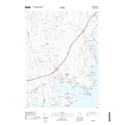
2018 Map of Marion
USGS Topo · Published 2018About this map
Mattapoisett Harbor and the surrounding coastal reaches of Sippican Harbor define this survey of the Massachusetts shoreline. The interior landscape is a complex network of wetlands and wooded hills, including Haskell Swamp and Vaughan Hill, which feed the southern-flowing Mattapoisett River. These watercourses historically powered local industry, as evidenced by the namesake Sturtevant Mill located north of Wolf Lake.
Find a feature on this map
199 named features on this map. Tap any name to fly to it.
Don’t see what you’re looking for? This feature index may not catch every label — zoom into the map to look around manually.
Map Details
Editions of this 2018 Marion Map
This is the sole edition of this map. No revisions or reprints were ever made.
Other maps of this area

1885 · New Bedford
USGS Topo · 1:62,500

1885 · Middleboro
USGS Topo · 1:62,500

1886 · Falmouth
USGS Topo · 1:62,500

1886 · Plymouth
USGS Topo · 1:62,500

1888 · New Bedford
USGS Topo · 1:62,500

1888 · Falmouth
USGS Topo · 1:62,500

1888 · Middleboro
USGS Topo · 1:62,500

1889 · Plymouth
USGS Topo · 1:62,500

1893 · Middleboro
USGS Topo · 1:62,500

1893 · Falmouth
USGS Topo · 1:62,500