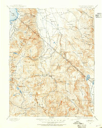
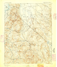
1889 Map of Markleeville
USGS Topo · Published 1954About this map
The West Fork Carson River and its eastern counterpart carve through the high country of the Sierra Nevada, defining a late 19th-century landscape of remote outposts and high-altitude settlements. Markleeville serves as a central hub, connected to the wider Carson Valley where Minden and Gardnerville sit at the base of the Pine Nut Mountains. This survey documents a critical era of transit and resource extraction, capturing numerous early waypoints such as Twelve Mile House and Mountain House Holbrook along the winding routes through West Carson Canyon.
Find a feature on this map
127 named features on this map. Tap any name to fly to it.
Don’t see what you’re looking for? This feature index may not catch every label — zoom into the map to look around manually.
Map Details
Editions of this 1889 Markleeville Map
This is the sole edition of this map. No revisions or reprints were ever made.
Other maps of this area

1889 · Pyramid Peak
USGS Topo · 1:125,000
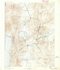
1891 · Carson
USGS Topo · 1:125,000
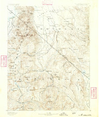
1891 · Markleeville
USGS Topo · 1:125,000
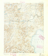
1891 · Truckee
USGS Topo · 1:125,000

1891 · Big Trees
USGS Topo · 1:125,000
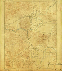
1891 · Wabuska
USGS Topo · 1:125,000
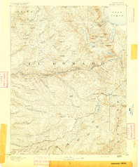
1891 · Pyramid Peak
USGS Topo · 1:125,000
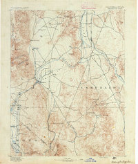
1891 · Wellington
USGS Topo · 1:125,000
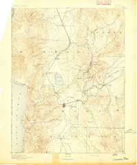
1893 · Carson
USGS Topo · 1:125,000
1893 · Markleeville
USGS Topo · 1:125,000