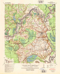
1940 Map of Marksville
USGS Topo · Published 1960About this map
Avoyelles Prairie and the winding Red River dominate this landscape, reflecting a region defined by its complex relationship with water and flood control during the mid-20th century. The intricate network of waterways, including Bayou des Glaises and Choctaw Bayou, showcases the natural drainage patterns of the area before modern extensive levee systems. This map captures the concentrated cultural landscape of the French-influenced parish, where numerous churches and schools such as St Mary Ch & Cem and Hickory Hill Sch anchor small rural communities. A significant historical landmark is Fort De Russy, a Civil War era fortification located near the river. The layout of Marksville and Mansura alongside the Texas and Pacific RR illustrates the era's reliance on rail transport for moving agricultural products across the alluvial plains.
Find a feature on this map
83 named features on this map. Tap any name to fly to it.
Don’t see what you’re looking for? This feature index may not catch every label — zoom into the map to look around manually.
Map Details
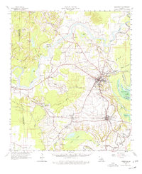
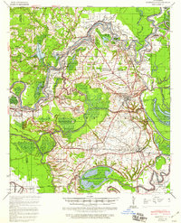
Editions of this 1940 Marksville Map
2 editions found