Loading...
Loading map...1962 Map of Marksville
USGS Topo · Published 1977About this map
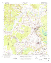
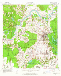
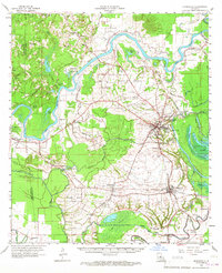
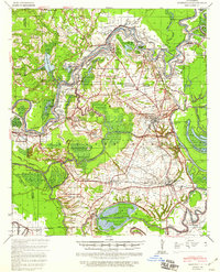
Avoyelles Prairie dominates this section of the Louisiana landscape, where the Red River meanders in deep loops north of Marksville. The 1962 topography reveals a complex network of bayous and lakes, including the expansive Lac du Pearl and Grand Lake, which reflect the historic flood patterns of the region. The cultural footprint is dense with lineage-rich landmarks, from the Indian Mounds near the parish seat to numerous country churches like St Marys Ch and Jerusalem Ch.
Find a feature on this map
87 named features on this map. Tap any name to fly to it.
Don’t see what you’re looking for? This feature index may not catch every label — zoom into the map to look around manually.
Map Details
Date Portrayed1962
Date Published1977
PublisherU.S. Geological Survey
Map TypeTopographic
Scale1:62,500
Physical Dimensions17.9 x 21.8 inches
Editions of this 1962 Marksville Map
3 editions found
Historical Maps of Marksville Through Time
Featured Locations
Source Details
SourceU.S. Geological Survey
CopyrightPublic Domain