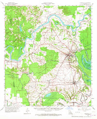
1962 Map of Marksville
USGS Topo · Published 1967About this map
Marksville and the expansive Avoyelles Prairie dominate this mid-century topographic record, showing a landscape defined by the serpentine path of the Red River and a complex network of backwater bayous. The settlement pattern follows the higher ground, with established towns like Mansura and Hessmer connected by the Kansas City Southern and Texas and Pacific railroads. Cultural depth is evident in the numerous parish churches and cemeteries, such as St Winfred Cem Ch and St Joseph Cem Ch, which anchored the rural communities of the 1960s.
Find a feature on this map
93 named features on this map. Tap any name to fly to it.
Don’t see what you’re looking for? This feature index may not catch every label — zoom into the map to look around manually.
Map Details
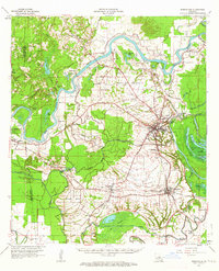
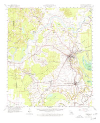
Editions of this 1962 Marksville Map
3 editions found
Other maps of this area

1935 · Turkey Creek
USGS Topo · 1:62,500

1935 · Tooleys
USGS Topo · 1:62,500

1935 · Lecompte
USGS Topo · 1:62,500

1940 · Marksville
USGS Topo · 1:62,500

1941 · Voorhies
USGS Topo · 1:62,500

1941 · Alexandria
USGS Topo · 1:62,500

1941 · Buckeye
USGS Topo · 1:62,500

1941 · Tooleys
USGS Topo · 1:62,500

1948 · Bunkie
USGS Topo · 1:62,500

1949 · Turkey Creek
USGS Topo · 1:62,500