
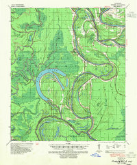
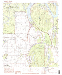
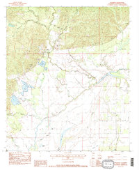
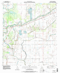
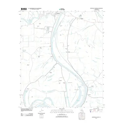
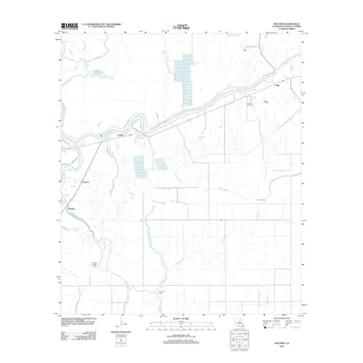
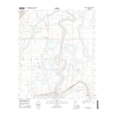
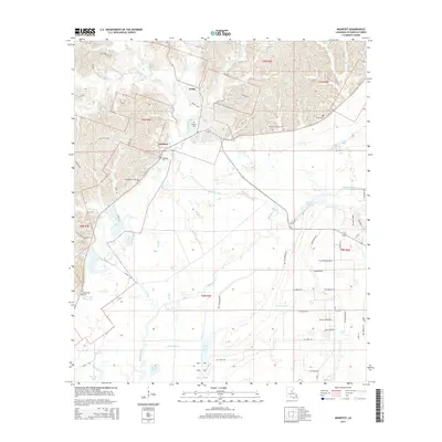
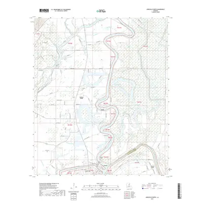
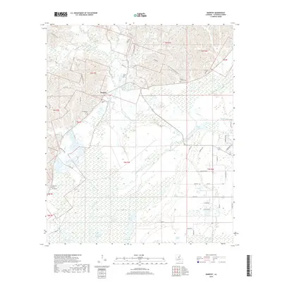
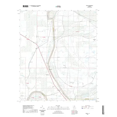
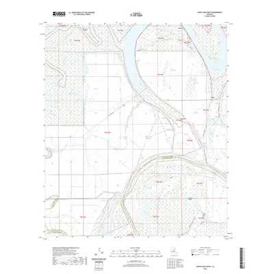
1935 Map of Tooleys
USGS Topo · Published 1936About this map
The vast wetlands of central Louisiana define this 1930s landscape, where the shifting waters of Larto Lake and the Black River created a complex environment of brakes and bayous. In this era, small riverfront communities like Mayna, Serena, and Tooleys relied on a dense network of landings—such as Island Bayou Ldg and Wilson Ldg—for transportation and trade before modern road systems were fully established. The map reveals the intricate drainage patterns of Big Cypress Bayou and Larto Bayou, which supported a localized economy centered on the water.
Find a feature on this map
132 named features on this map. Tap any name to fly to it.
Don’t see what you’re looking for? This feature index may not catch every label — zoom into the map to look around manually.
Map Details
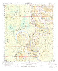
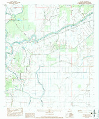
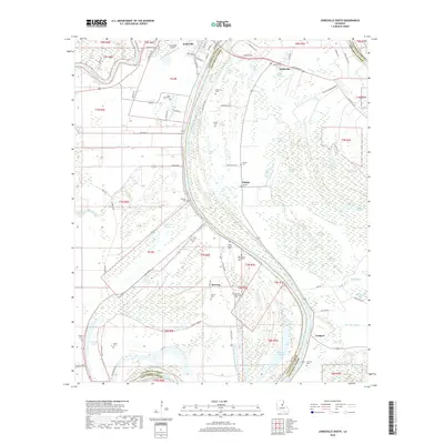
Editions of this 1935 Tooleys Map
This is the sole edition of this map. No revisions or reprints were ever made.
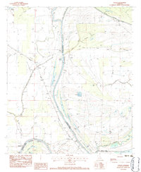
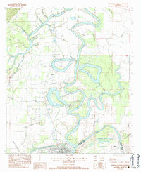
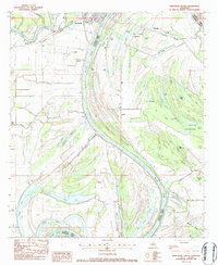
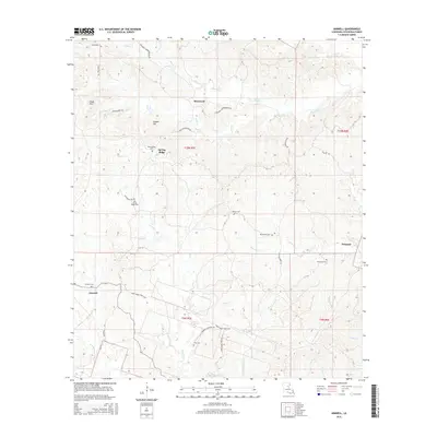
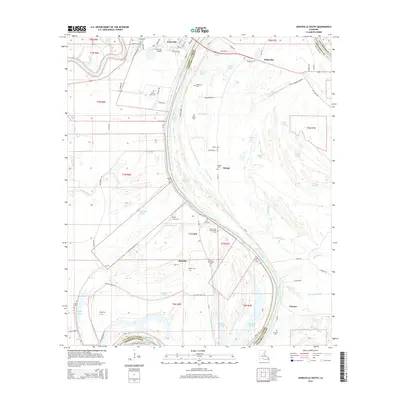
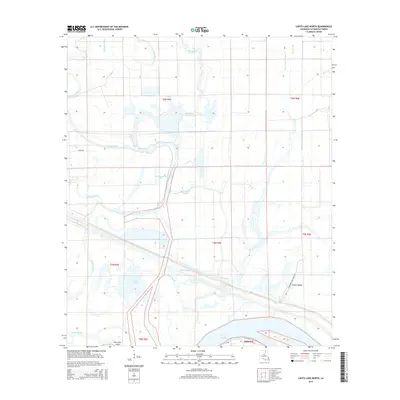
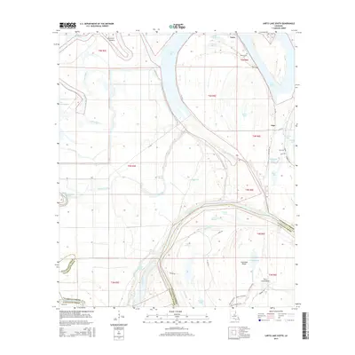
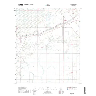
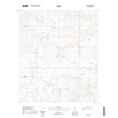
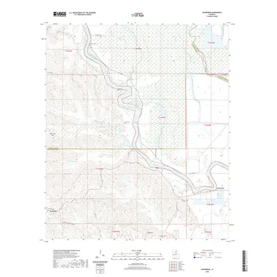
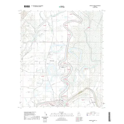
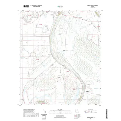
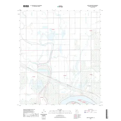
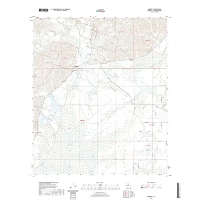
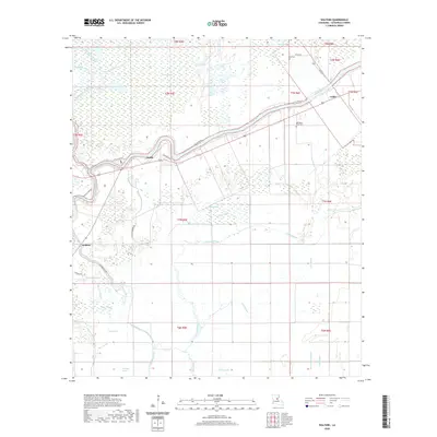
Historical Maps of Eva Through Time
60 maps found
1935 Tooleys
Catahoula Parish, LA

1941 Manifest
Catahoula Parish, LA
1941 Tooleys
Catahoula Parish, LA
1960 Eva
Catahoula Parish, LA
1976 Sicily Island SW
Catahoula Parish, LA
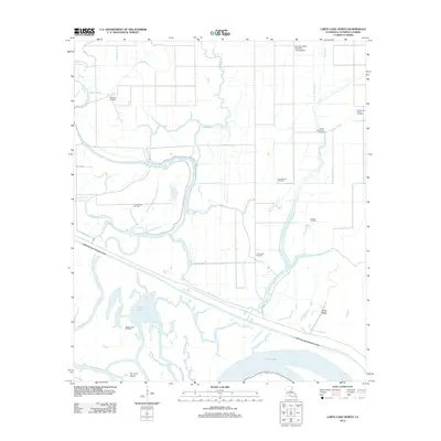
1982 Larto Lake North
Catahoula Parish, LA
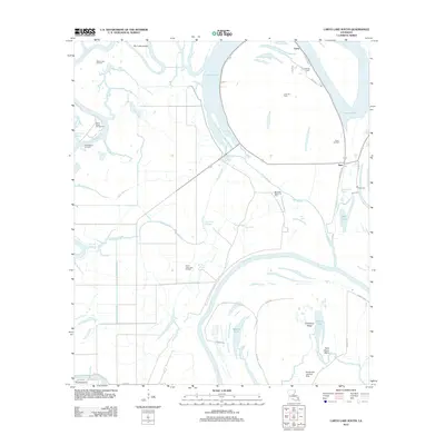
1982 Larto Lake South
Catahoula Parish, LA
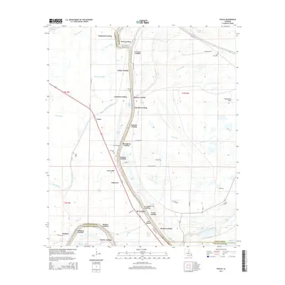
1983 Foules
Catahoula Parish, LA
1983 Jonesville North
Catahoula Parish, LA
1983 Jonesville South
Catahoula Parish, LA
1983 Manifest
Catahoula Parish, LA
1983 Walters
Catahoula Parish, LA
1984 Aimwell
Catahoula Parish, LA
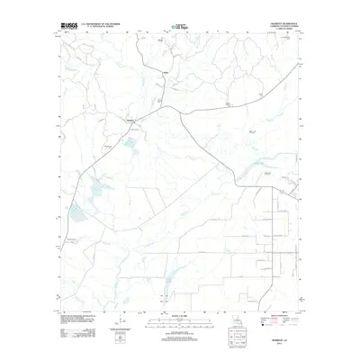
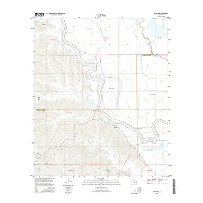
1984 Enterprise
Catahoula Parish, LA
1995 Walters
Catahoula Parish, LA
2012 Aimwell
Catahoula Parish, LA
2012 Enterprise
Catahoula Parish, LA
2012 Foules
Catahoula Parish, LA

2012 Jonesville North
Catahoula Parish, LA
2012 Jonesville South
Catahoula Parish, LA
2012 Larto Lake North
Catahoula Parish, LA
2012 Larto Lake South
Catahoula Parish, LA
2012 Manifest
Catahoula Parish, LA
2012 Walters
Catahoula Parish, LA
2015 Aimwell
Catahoula Parish, LA
2015 Enterprise
Catahoula Parish, LA
2015 Foules
Catahoula Parish, LA
2015 Jonesville North
Catahoula Parish, LA
2015 Jonesville South
Catahoula Parish, LA
2015 Larto Lake North
Catahoula Parish, LA
2015 Larto Lake South
Catahoula Parish, LA
2015 Manifest
Catahoula Parish, LA
2015 Walters
Catahoula Parish, LA
2018 Aimwell
Catahoula Parish, LA

2018 Enterprise
Catahoula Parish, LA
2018 Foules
Catahoula Parish, LA
2018 Jonesville North
Catahoula Parish, LA
2018 Jonesville South
Catahoula Parish, LA
2018 Larto Lake North
Catahoula Parish, LA
2018 Larto Lake South
Catahoula Parish, LA
2018 Manifest
Catahoula Parish, LA
2018 Walters
Catahoula Parish, LA
2020 Aimwell
Catahoula Parish, LA
2020 Enterprise
Catahoula Parish, LA
2020 Foules
Catahoula Parish, LA
2020 Jonesville North
Catahoula Parish, LA
2020 Jonesville South
Catahoula Parish, LA
2020 Larto Lake North
Catahoula Parish, LA
2020 Larto Lake South
Catahoula Parish, LA
2020 Manifest
Catahoula Parish, LA
2020 Walters
Catahoula Parish, LA
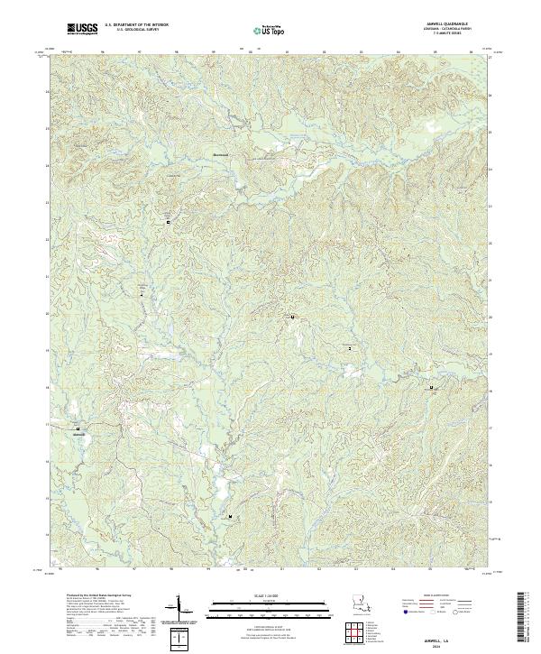
2024 Aimwell
Catahoula Parish, LA
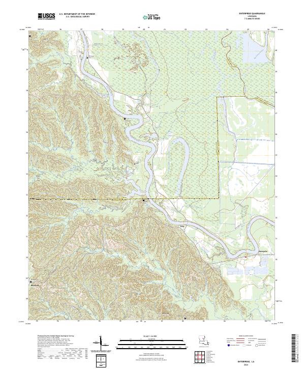
2024 Enterprise
Catahoula Parish, LA
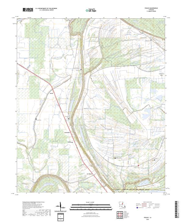
2024 Foules
Catahoula Parish, LA
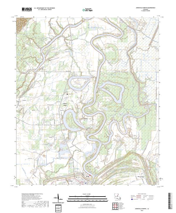
2024 Jonesville North
Catahoula Parish, LA
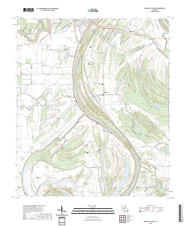
2024 Jonesville South
Catahoula Parish, LA
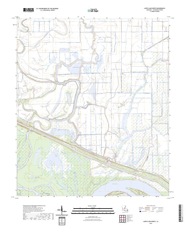
2024 Larto Lake North
Catahoula Parish, LA
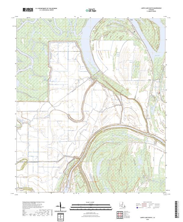
2024 Larto Lake South
Catahoula Parish, LA
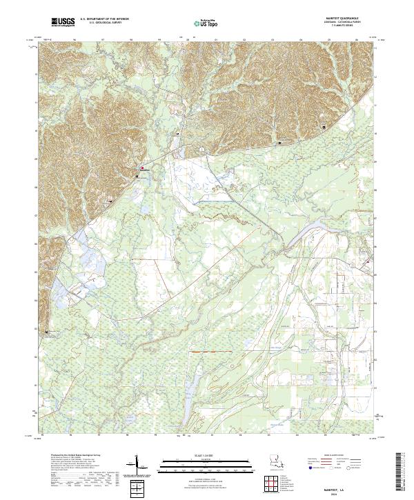
2024 Manifest
Catahoula Parish, LA
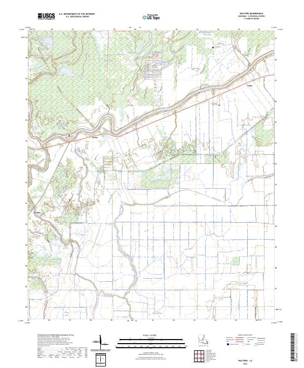
2024 Walters
Catahoula Parish, LA