Loading...
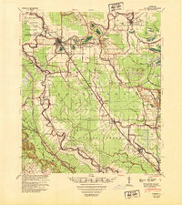
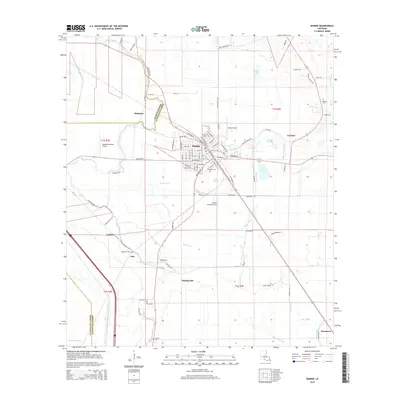
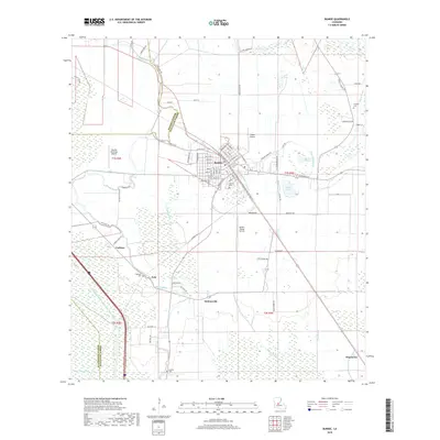
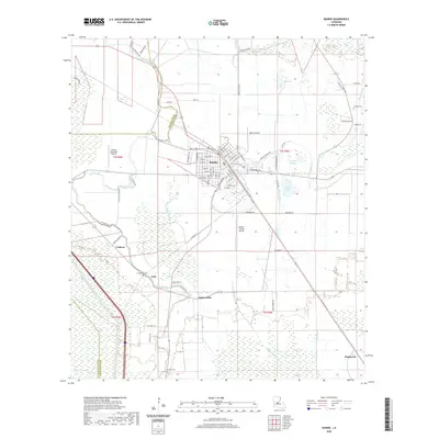
Loading map...1948 Map of Bunkie
USGS Topo · Published 1950About this map
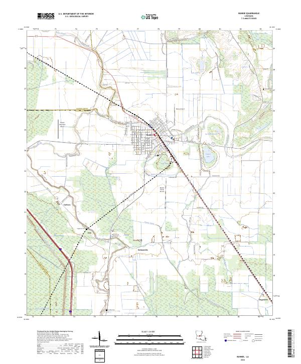
Bunkie serves as the central hub of this late 1940s landscape, where the agricultural traditions of the Louisiana prairie meet the growing industrial footprint of the Ville Platte Oil Field and the Standard Oil Co Pumping Plant. The map reveals a complex network of waterways, including Bayou Boeuf and the Bayou Boeuf-Cocodrie Diversion Channel, which dictated the settlement patterns of small communities like Eola, Morrow, and Gold Dust.
Find a feature on this map
91 named features on this map. Tap any name to fly to it.
Don’t see what you’re looking for? This feature index may not catch every label — zoom into the map to look around manually.
Map Details
Date Portrayed1948
Date Published1950
PublisherU.S. Geological Survey
Map TypeTopographic
Scale1:62,500
Physical Dimensions19.7 x 22.2 inches
Editions of this 1948 Bunkie Map
This is the sole edition of this map. No revisions or reprints were ever made.
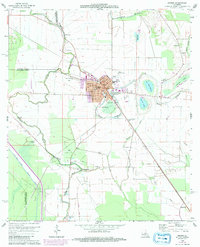
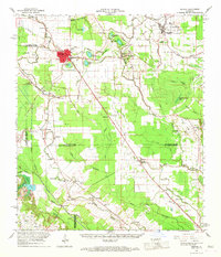
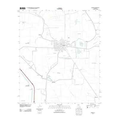
Historical Maps of Bunkie Through Time
8 maps found
Featured Locations
Source Details
SourceU.S. Geological Survey
CopyrightPublic Domain