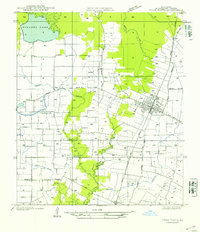
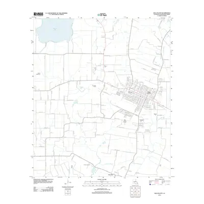
1947 Map of Ville Platte
USGS Topo · Published 1947About this map
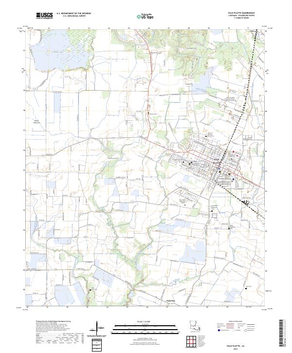
The Ville Platte street grid and the surrounding Evangeline Parish landscape define this 1947 survey, produced from earlier aerial photography and field exams. The settlement pattern is heavily influenced by the Texas and Pacific Railway, which cuts a diagonal line through the town and southward toward Point Blue. This era shows a community rooted in the wet prairies and wooded bayous of south-central Louisiana, where transport and water management were paramount.
Find a feature on this map
19 named features on this map. Tap any name to fly to it.
Don’t see what you’re looking for? This feature index may not catch every label — zoom into the map to look around manually.
Map Details
Editions of this 1947 Ville Platte Map
This is the sole edition of this map. No revisions or reprints were ever made.
Historical Maps of Ville Platte Through Time
9 maps found
1947 Ville Platte
Evangeline Parish, LA
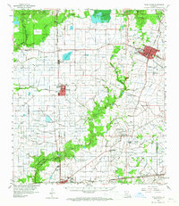
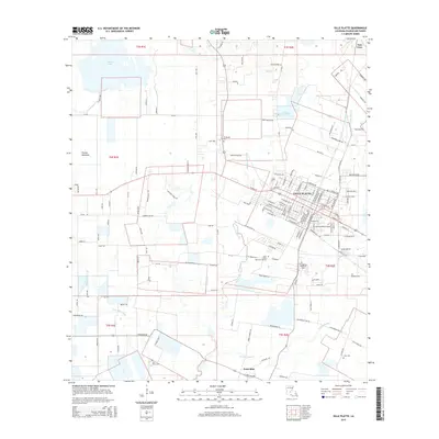
1960 Ville Platte
Evangeline Parish, LA
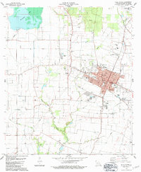
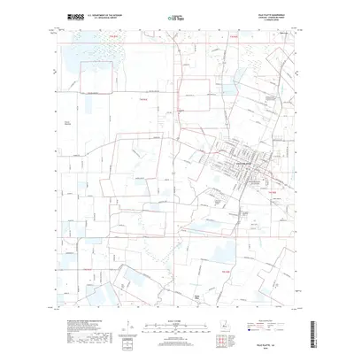
1983 Ville Platte
Evangeline Parish, LA
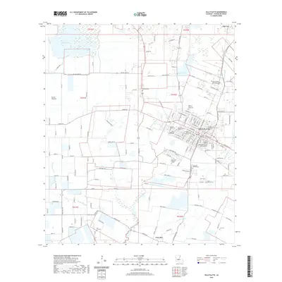
1986 Ville Platte
Evangeline Parish, LA
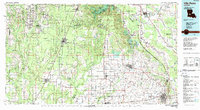
2012 Ville Platte
Evangeline Parish, LA
2015 Ville Platte
Evangeline Parish, LA
2018 Ville Platte
Evangeline Parish, LA
2020 Ville Platte
Evangeline Parish, LA
2024 Ville Platte
Evangeline Parish, LA