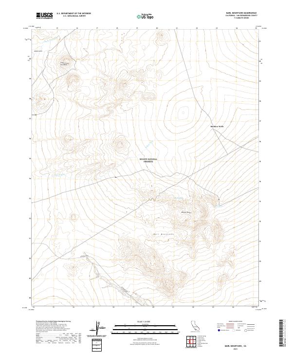
2021 Map of Marl Mountains
USGS Topo · Published 2021About this map
The Marl Mountains rise from the high desert floor in this contemporary survey of the eastern Mojave National Preserve. This arid landscape is defined by its complex volcanic history, most notably the Cinder Cone Lava Beds and the natural formation at Aikens Arch. Water is the primary sculptor and sustainer here, with seasonal drainage systems like Black Tank Wash and Willow Wash cutting through the terrain. For those interested in the human history of the desert, the map documents critical water sources that long dictated travel routes, including the well-known Marl Spring, Rainbow Wells, and Sheep Spring. Modern access is represented primarily by Kelbaker Road, which skirts the southern edge of the mountain range as it crosses the Mojave Desert.
Find a feature on this map
17 named features on this map. Tap any name to fly to it.
Don’t see what you’re looking for? This feature index may not catch every label — zoom into the map to look around manually.
Map Details
Editions of this 2021 Marl Mountains Map
This is the sole edition of this map. No revisions or reprints were ever made.
Other maps of this area

1910 · Ivanpah
USGS Topo · 1:250,000

1912 · Ivanpah
USGS Topo · 1:250,000

1942 · Ivanpah
USGS Topo · 1:250,000

1947 · Kingman
USGS Topo · 1:250,000

1948 · Kingman
USGS Topo · 1:250,000

1954 · Kingman
USGS Topo · 1:250,000

1955 · Kingman
USGS Topo · 1:250,000

1955 · Mescal Range
USGS Topo · 1:62,500

1955 · Kelso
USGS Topo · 1:62,500

1956 · Halloran Spring
USGS Topo · 1:62,500