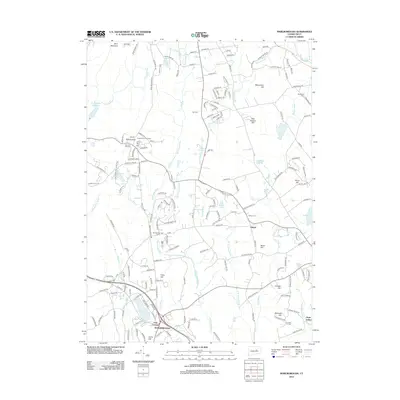
2012 Map of Marlborough
USGS Topo · Published 2012About this map
Marlborough and the surrounding rural landscapes of central Connecticut are defined by a network of hills and small river valleys. The town center at Four Corners sits just south of Lake Terramuggus, while smaller settlements like Gilead, Mannantuck, and Hope Valley are scattered among the ridges. This terrain is marked by several prominent summits, including John Tom Hill, where the Glastonbury Fire Tower stands as a landmark, and Birch Mountain to the north.
Find a feature on this map
189 named features on this map. Tap any name to fly to it.
Don’t see what you’re looking for? This feature index may not catch every label — zoom into the map to look around manually.
Map Details
Editions of this 2012 Marlborough Map
This is the sole edition of this map. No revisions or reprints were ever made.
Other maps of this area

1892 · Hartford
USGS Topo · 1:62,500

1892 · Tolland
USGS Topo · 1:62,500

1892 · Gilead
USGS Topo · 1:62,500

1893 · Middletown
USGS Topo · 1:62,500

1906 · Farmington
USGS Topo · 1:125,000

1921 · Tolland
USGS Topo · 1:62,500

1928 · Glastonbury
USGS Topo · 1:24,000

1928 · Manchester
USGS Topo · 1:24,000

1944 · Manchester
USGS Topo · 1:31,680

1944 · Marlboro
USGS Topo · 1:31,680