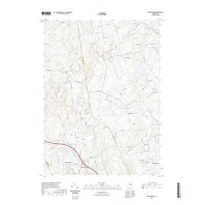
2021 Map of Marlborough
USGS Topo · Published 2021About this map
Marlborough and Gilead serve as the primary anchors of this Connecticut landscape, situated at the intersection of Hartford, Tolland, and Middlesex counties. The terrain is defined by a series of prominent elevations, including John Tom Hill, Burnt Hill, and Burrows Hill, which dictate the drainage patterns of the Blackledge River and numerous smaller watercourses like Fawn Brook and Staddle Brook. The presence of several distinct burial grounds, such as Old Marlborough Cem and Townsend Cem, offers significant points of interest for genealogists tracing local families in this corner of the state.
Find a feature on this map
167 named features on this map. Tap any name to fly to it.
Don’t see what you’re looking for? This feature index may not catch every label — zoom into the map to look around manually.
Map Details
Editions of this 2021 Marlborough Map
This is the sole edition of this map. No revisions or reprints were ever made.
Other maps of this area

1892 · Hartford
USGS Topo · 1:62,500

1892 · Tolland
USGS Topo · 1:62,500

1892 · Gilead
USGS Topo · 1:62,500

1893 · Middletown
USGS Topo · 1:62,500

1906 · Farmington
USGS Topo · 1:125,000

1921 · Tolland
USGS Topo · 1:62,500

1928 · Glastonbury
USGS Topo · 1:24,000

1928 · Manchester
USGS Topo · 1:24,000

1944 · Manchester
USGS Topo · 1:31,680

1944 · Marlboro
USGS Topo · 1:31,680