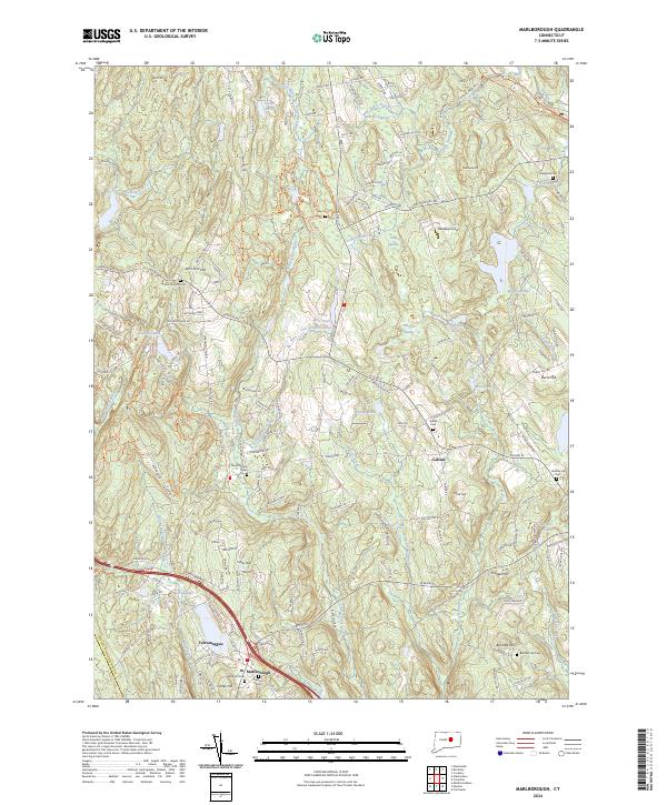
2024 Map of Marlborough
USGS Topo · Published 2024About this map
Marlborough and the surrounding Tolland County landscape are defined by a complex network of brooks and ridges, centered on the drainage of the Blackledge River and Fawn Brook. The settlement pattern follows the high ground, with historic centers like Gilead and Terramuggus connected by a web of old thoroughfares including Hebron Rd and Boston Hill Rd. A striking number of small family and community burial grounds are preserved across the quadrangle, from the John Tom Hill Cem in the northwest to the Burrows Hill Cem and Century Cem further south. These sites, along with landmarks like John Tom Hill and Burnt Hill, provide essential reference points for those tracing local lineages or the early 18th-century agrarian layout. The terrain is notably water-rich, featuring numerous basins such as Diamond Lake, Tinker Pond, and the expansive Bishop Swamp.
Find a feature on this map
129 named features on this map. Tap any name to fly to it.
Don’t see what you’re looking for? This feature index may not catch every label — zoom into the map to look around manually.
Map Details
Editions of this 2024 Marlborough Map
This is the sole edition of this map. No revisions or reprints were ever made.
Other maps of this area

1892 · Hartford
USGS Topo · 1:62,500

1892 · Tolland
USGS Topo · 1:62,500

1892 · Gilead
USGS Topo · 1:62,500

1893 · Middletown
USGS Topo · 1:62,500

1906 · Farmington
USGS Topo · 1:125,000

1921 · Tolland
USGS Topo · 1:62,500

1928 · Glastonbury
USGS Topo · 1:24,000

1928 · Manchester
USGS Topo · 1:24,000

1944 · Manchester
USGS Topo · 1:31,680

1944 · Marlboro
USGS Topo · 1:31,680