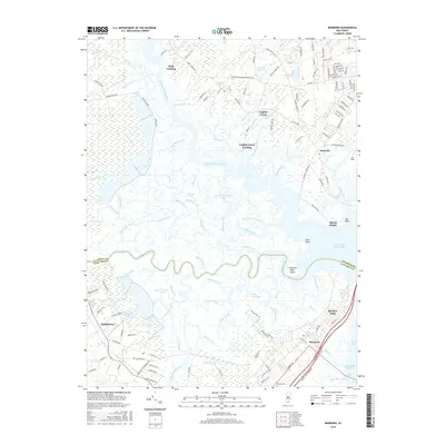
2016 Map of Marmora
USGS Topo · Published 2016About this map
Marmora and the surrounding wetlands of Atlantic and Cape May counties are defined by a complex network of tidewater channels and coastal settlements. The Great Egg Harbor River serves as a central artery, winding past historical points like Scull Landing and English Creek Landing. These landing names reflect a legacy of maritime access along the river's edge, where the land gives way to extensive marshes such as Griscom Swamp.
Find a feature on this map
148 named features on this map. Tap any name to fly to it.
Don’t see what you’re looking for? This feature index may not catch every label — zoom into the map to look around manually.
Map Details
Editions of this 2016 Marmora Map
This is the sole edition of this map. No revisions or reprints were ever made.
Other maps of this area

1884 · Sea Isle
USGS Topo · 1:62,500

1888 · Dennisville
USGS Topo · 1:62,500

1888 · Sea Isle
USGS Topo · 1:62,500

1890 · Great Egg Harbor
USGS Topo · 1:62,500

1890 · Tuckahoe
USGS Topo · 1:62,500

1893 · Great Egg Harbor
USGS Topo · 1:62,500

1893 · Tuckahoe
USGS Topo · 1:62,500

1894 · Dennisville
USGS Topo · 1:62,500

1894 · Sea Isle
USGS Topo · 1:62,500

1918 · Great Egg Harbor
USGS Topo · 1:62,500