
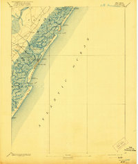
1894 Map of Sea Isle
USGS Topo · Published 1894About this map
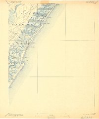
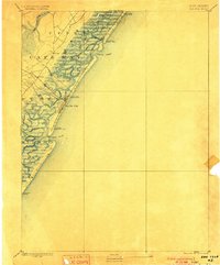
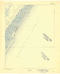
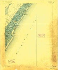
Sea Isle City and the barrier islands of Cape May appear in this late nineteenth-century survey during a period of significant maritime and rail development. The intricate coastal topography is dominated by expansive tidal marshes and complex waterways such as Corson Sound, Ludlam Bay, and Townsend Sound. Navigation through these wetlands relied on a network of named channels including Main Channel and various thorofares like Ingram Thorofare and Weakfish Thorofare.
Find a feature on this map
50 named features on this map. Tap any name to fly to it.
Don’t see what you’re looking for? This feature index may not catch every label — zoom into the map to look around manually.
Map Details
Editions of this 1894 Sea Isle Map
6 editions found
Other maps of this area

1884 · Sea Isle
USGS Topo · 1:62,500

1887 · Atlantic City
USGS Topo · 1:62,500

1888 · Cape May
USGS Topo · 1:62,500

1888 · Dennisville
USGS Topo · 1:62,500

1888 · Sea Isle
USGS Topo · 1:62,500

1890 · Great Egg Harbor
USGS Topo · 1:62,500

1890 · Tuckahoe
USGS Topo · 1:62,500

1893 · Cape May
USGS Topo · 1:62,500

1893 · Great Egg Harbor
USGS Topo · 1:62,500

1893 · Tuckahoe
USGS Topo · 1:62,500