2019 Map of Marmora
USGS Topo · Published 2019About this map
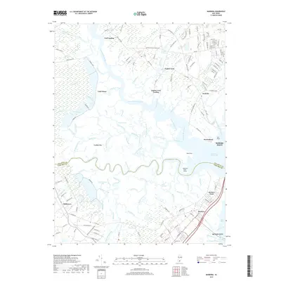
Tuckahoe River winds through the heart of this coastal landscape, serving as a natural boundary between Atlantic and Cape May counties. The region is defined by its extensive marshlands and intricate waterways, including the winding Middle River and the broad expanse of Peck Bay. Historic landing sites and settlements such as English Creek Landing, Scull Landing, and Beesleys Point highlight the area's long-standing connection to maritime travel and the river-based economy.
Find a feature on this map
167 named features on this map. Tap any name to fly to it.
Don’t see what you’re looking for? This feature index may not catch every label — zoom into the map to look around manually.
Map Details
Editions of this 2019 Marmora Map
This is the sole edition of this map. No revisions or reprints were ever made.
Other maps of this area

1884 · Sea Isle
USGS Topo · 1:62,500

1888 · Dennisville
USGS Topo · 1:62,500

1888 · Sea Isle
USGS Topo · 1:62,500

1890 · Great Egg Harbor
USGS Topo · 1:62,500

1890 · Tuckahoe
USGS Topo · 1:62,500

1893 · Great Egg Harbor
USGS Topo · 1:62,500

1893 · Tuckahoe
USGS Topo · 1:62,500

1894 · Dennisville
USGS Topo · 1:62,500

1894 · Sea Isle
USGS Topo · 1:62,500

1918 · Great Egg Harbor
USGS Topo · 1:62,500