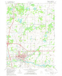
2023 Map of Marshall
USGS Topo · Published 2023About this map
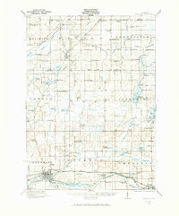
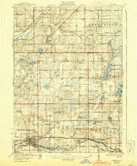
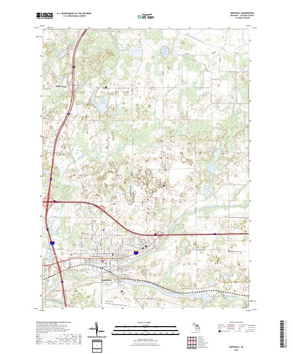
Marshall is situated at the confluence of the Kalamazoo River and Rice Creek, serving as a central hub in Calhoun County. The landscape is characterized by a dense network of country roads like Old 27 N and Lansing Rd, which connect the town to outlying areas such as Walnut Point. The distribution of local history sites is particularly notable, with numerous burial grounds such as Oakridge Cem and the Calhoun County Poor Farm Cem reflecting the community's long-standing social structures. To the north, the terrain transitions into a more hydrologically complex area featuring Potter Lake, Lake of the Woods, and Pardy Lake. The map details the modern transition of the area while preserving the locations of family-named landmarks like the Townsend Cem and Johnson Cem, providing a clear view of the intersection between historic settlement patterns and contemporary infrastructure.
Find a feature on this map
119 named features on this map. Tap any name to fly to it.
Don’t see what you’re looking for? This feature index may not catch every label — zoom into the map to look around manually.
Map Details
Editions of this 2023 Marshall Map
This is the sole edition of this map. No revisions or reprints were ever made.
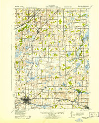
Historical Maps of Marshall Through Time
5 maps found