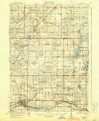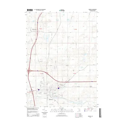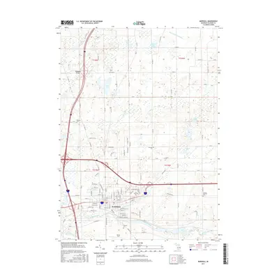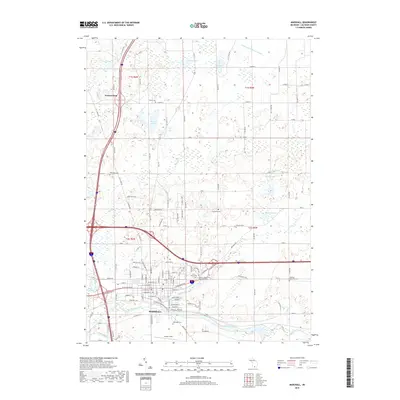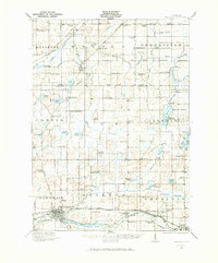
1921 Map of Marshall
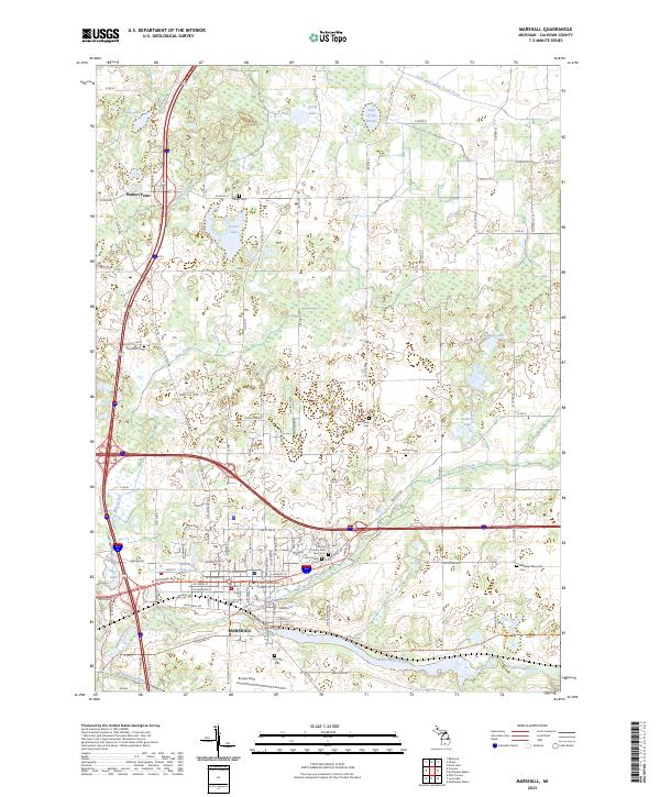
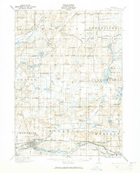
USGS Topo · Published 1973About this map
The Kalamazoo River and its varied tributaries, including Rice Creek and Battle Creek, anchor the landscape of south-central Michigan in the early 1920s. This survey highlights the region's dense network of rural infrastructure, from the County Infirmary near Marshall to dozens of country schools such as Estabrook School and Hockenberry School. The industrial and transit corridor is clearly defined by the parallel routes of the Michigan Central Railroad and the Michigan Electric Railway, which linked the primary settlements of Albion and Marshall. Further north, the terrain transitions into a region marked by numerous small lakes and landings, such as Duck Lake and Charlotte Landing, reflecting the early recreational and residential development around the area's water bodies. The presence of specialized stops like Olivet Station and the straight-line precision of the Base Line underscore the era's structured land division and rail-dependent economy.
Find a feature on this map
101 named features on this map. Tap any name to fly to it.
Don’t see what you’re looking for? This feature index may not catch every label — zoom into the map to look around manually.
Map Details
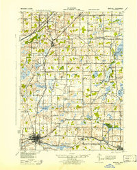
Editions of this 1921 Marshall Map
2 editions found
Historical Maps of Albion Through Time
9 maps found