Loading...
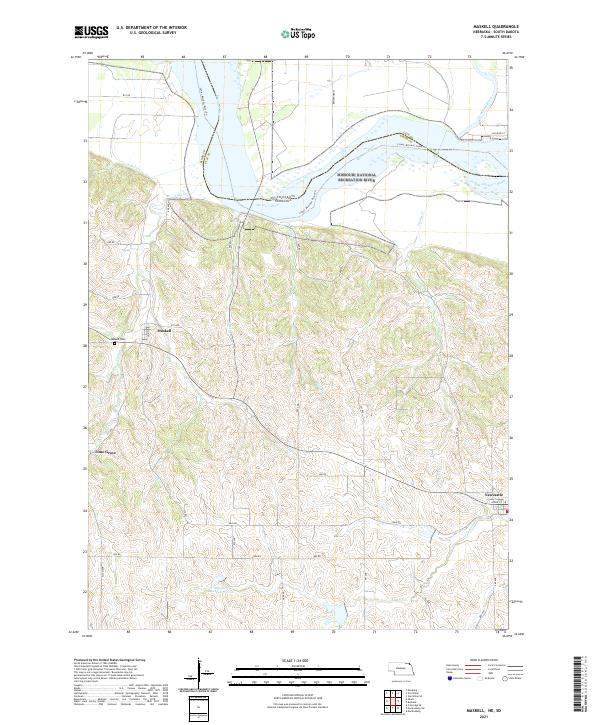
Loading map...2021 Map of Maskell
USGS Topo · Published 2021About this map
The Missouri National Recreation River defines the northern boundary of this Nebraska landscape, where the shifting waters and sandbars meet the bluffs of Dixon County. This modern survey illustrates the rural character of the region, anchored by the small settlements of Maskell and Newcastle, as well as the community of Lime Grove. The terrain is deeply incised by several watercourses including Ames Creek and Walnut Creek, which drain the uplands toward the floodplain.
Find a feature on this map
47 named features on this map. Tap any name to fly to it.
Don’t see what you’re looking for? This feature index may not catch every label — zoom into the map to look around manually.
Map Details
Date Portrayed2021
Date Published2021
PublisherU.S. Geological Survey
Map TypeTopographic
Scale1:24000
Physical Dimensions24 x 29 inches
Editions of this 2021 Maskell Map
This is the sole edition of this map. No revisions or reprints were ever made.
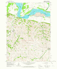
Historical Maps of Fairview Township Through Time

Featured Locations
- Vermillion Township, SD
- Fairview Township, SD
- Hooker Township, NE
- Newcastle, Newcastle Township
- Maskell, Hooker Township
Source Details
SourceU.S. Geological Survey
CopyrightPublic Domain