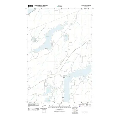
2011 Map of Mason Lake
USGS Topo · Published 2011About this map
Mason Lake and the complex shoreline of Pickering Passage dominate this landscape, revealing the intricate water-centered layout of Mason County in the early 21st century. The map provides a detailed view of lakeside development, where dense residential road networks like Mason Lake Estates Rd and E Olympic Dr trace the water's edge. This settlement pattern contrasts with the more rural stretches near Benson Lake and Trask Lake, highlighting the area's transition toward recreational and seasonal living.
Find a feature on this map
88 named features on this map. Tap any name to fly to it.
Don’t see what you’re looking for? This feature index may not catch every label — zoom into the map to look around manually.
Map Details
Editions of this 2011 Mason Lake Map
This is the sole edition of this map. No revisions or reprints were ever made.
Other maps of this area

1937 · Olympia
USGS Topo · 1:62,500

1938 · Allyn
USGS Topo · 1:62,500

1939 · Shelton
USGS Topo · 1:62,500

1943 · Potlatch
USGS Topo · 1:62,500

1949 · Olympia
USGS Topo · 1:62,500

1952 · Potlatch
USGS Topo · 1:62,500

1953 · Vaughn
USGS Topo · 1:24,000

1953 · Lake Wooten
USGS Topo · 1:24,000
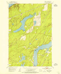
1953 · Mason Lake
USGS Topo · 1:24,000
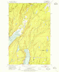
1953 · Belfair
USGS Topo · 1:24,000