
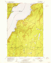
1953 Map of Lake Wooten
USGS Topo · Published 1955About this map
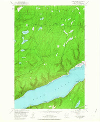
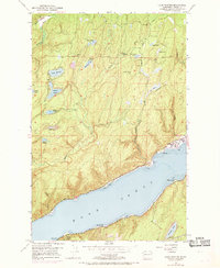
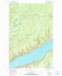
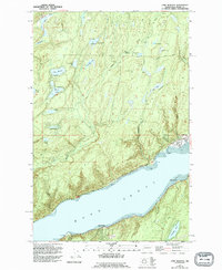
The glacial landscape of the Kitsap Peninsula is on full display in this early 1950s survey, dominated by a series of kettle lakes and the northern reach of Hood Canal. Outdoor recreation and youth camps define the upland interior, with sites like the Girl Scout Camp on Bennettsen Lake and Camp Spillman situated among the timbered ridges. The Tahuya River and Dewatto River drain this lake-heavy terrain, which shows significant signs of managed forestry along the Long Merrill Plantation Road. Along the shoreline of the canal, small waterfront communities such as Sunbeach, Forest Beach, and Sunset Beach represent the mid-century development of the Mason County coast. Public recreation is anchored by Belfair State Park in the northeast and Twanoh State Park at the water's edge, reflecting the region's long-standing importance as a destination for maritime and forest activities.
Find a feature on this map
39 named features on this map. Tap any name to fly to it.
Don’t see what you’re looking for? This feature index may not catch every label — zoom into the map to look around manually.
Map Details
Editions of this 1953 Lake Wooten Map
5 editions found
Other maps of this area

1936 · Point Misery
USGS Topo · 1:62,500

1938 · Mt Constance
USGS Topo · 1:125,000

1938 · Allyn
USGS Topo · 1:62,500

1940 · Point Misery
USGS Topo · 1:62,500

1943 · Potlatch
USGS Topo · 1:62,500

1947 · The Brothers
USGS Topo · 1:62,500

1950 · The Brothers
USGS Topo · 1:62,500

1952 · Potlatch
USGS Topo · 1:62,500

1953 · Vaughn
USGS Topo · 1:24,000
1953 · Holly
USGS Topo · 1:24,000