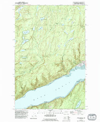
1953 Map of Lake Wooten
USGS Topo · Published 1994About this map
The Hood Canal shoreline and the dense lake clusters of Mason County define this 1953 survey, which preserves the landscape just as recreational development and state park infrastructure were maturing. Small waterfront communities like Sunbeach, Forest Beach, and Shady Beach dot the northern and southern banks, reflecting the post-war era of coastal retreat. Inland, the terrain is characterized by a network of small water bodies including Lake Wooten, Haven Lake, and Twin Lakes, often accompanied by primitive campgrounds and boat ramps that highlight the region's long-standing reliance on outdoor tourism.
Find a feature on this map
42 named features on this map. Tap any name to fly to it.
Don’t see what you’re looking for? This feature index may not catch every label — zoom into the map to look around manually.
Map Details
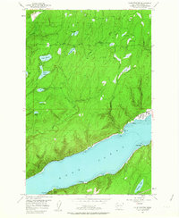
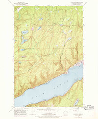
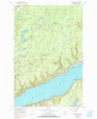
Editions of this 1953 Lake Wooten Map
5 editions found
Other maps of this area

1936 · Point Misery
USGS Topo · 1:62,500

1938 · Mt Constance
USGS Topo · 1:125,000

1938 · Allyn
USGS Topo · 1:62,500

1940 · Point Misery
USGS Topo · 1:62,500

1943 · Potlatch
USGS Topo · 1:62,500

1947 · The Brothers
USGS Topo · 1:62,500

1950 · The Brothers
USGS Topo · 1:62,500

1952 · Potlatch
USGS Topo · 1:62,500

1953 · Vaughn
USGS Topo · 1:24,000

1953 · Lake Wooten
USGS Topo · 1:24,000