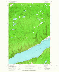
1953 Map of Lake Wooten
USGS Topo · Published 1963About this map
Hood Canal dominates the southern landscape of this mid-century survey, its shoreline dotted with recreational settlements like Sunbeach, Sunset Beach, Forest Beach, and Shady Beach. The interior terrain is defined by a dense network of freshwater lakes and drainage systems, including the Dewatto River and Tahuya River. This area served as a significant recreational hub for the region, as evidenced by the presence of Girl Scout Camp, Camp Spillman, and the established grounds of Belfair State Park and Twanoh State Park.
Find a feature on this map
34 named features on this map. Tap any name to fly to it.
Don’t see what you’re looking for? This feature index may not catch every label — zoom into the map to look around manually.
Map Details
Editions of this 1953 Lake Wooten Map
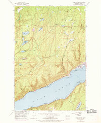
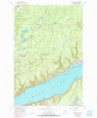
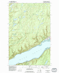
5 editions found
Other maps of this area

1936 · Point Misery
USGS Topo · 1:62,500

1938 · Mt Constance
USGS Topo · 1:125,000

1938 · Allyn
USGS Topo · 1:62,500

1940 · Point Misery
USGS Topo · 1:62,500

1943 · Potlatch
USGS Topo · 1:62,500

1947 · The Brothers
USGS Topo · 1:62,500

1950 · The Brothers
USGS Topo · 1:62,500

1952 · Potlatch
USGS Topo · 1:62,500

1953 · Vaughn
USGS Topo · 1:24,000

1953 · Lake Wooten
USGS Topo · 1:24,000