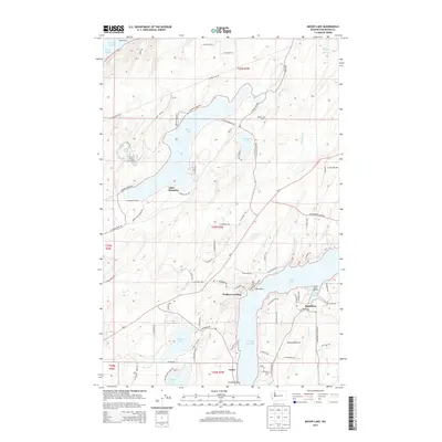
2014 Map of Mason Lake
USGS Topo · Published 2014About this map
Mason Lake dominates the center of this landscape, its shoreline dotted with residential development and access points like Little Hoquiam. The surrounding terrain is a complex network of freshwater basins including Benson Lake, Spencer Lake, and Phillips Lake, highlighting the glaciated topography of the Puget Sound region. To the east, the map captures the transition to saltwater at Pickering Passage, which separates the mainland from Harstine Island.
Find a feature on this map
90 named features on this map. Tap any name to fly to it.
Don’t see what you’re looking for? This feature index may not catch every label — zoom into the map to look around manually.
Map Details
Editions of this 2014 Mason Lake Map
This is the sole edition of this map. No revisions or reprints were ever made.
Other maps of this area
1937 · Olympia
USGS Topo · 1:62,500
1938 · Allyn
USGS Topo · 1:62,500
1939 · Shelton
USGS Topo · 1:62,500
1943 · Potlatch
USGS Topo · 1:62,500
1949 · Olympia
USGS Topo · 1:62,500
1952 · Potlatch
USGS Topo · 1:62,500
1953 · Vaughn
USGS Topo · 1:24,000
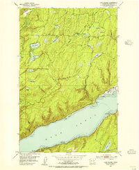
1953 · Lake Wooten
USGS Topo · 1:24,000
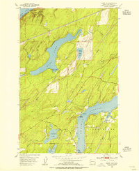
1953 · Mason Lake
USGS Topo · 1:24,000
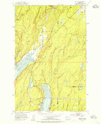
1953 · Belfair
USGS Topo · 1:24,000