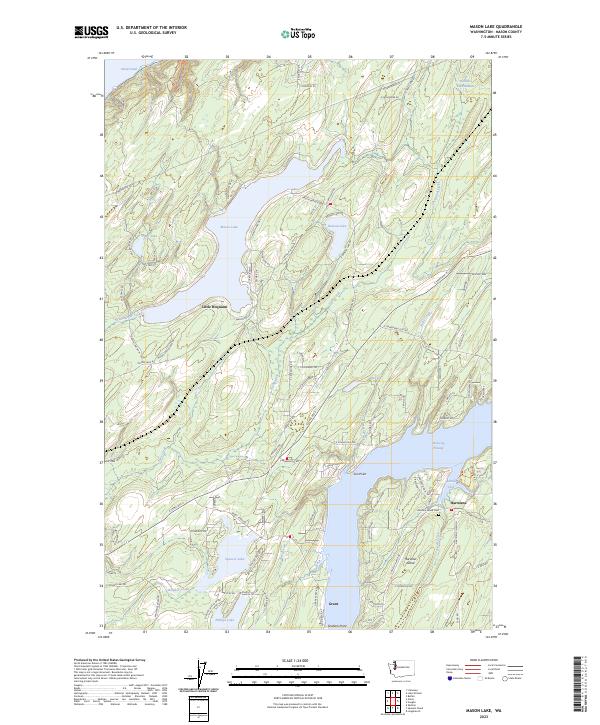
2023 Map of Mason Lake
USGS Topo · Published 2023About this map
Mason Lake and its surrounding glacial terrain dominate this portion of the Kitsap Peninsula, reflecting a landscape shaped by water and timber. The settlement of Little Hoquiam sits at the lake's southern end, while the eastern portion of the map transitions to the saltwater environment of Pickering Passage. This coastal reach includes the northern portion of Harstine Island, where the Harstine Island Cem and the community of Hartstene are established near the sheltered waters of Jarrell Cove.
Find a feature on this map
99 named features on this map. Tap any name to fly to it.
Don’t see what you’re looking for? This feature index may not catch every label — zoom into the map to look around manually.
Map Details
Editions of this 2023 Mason Lake Map
This is the sole edition of this map. No revisions or reprints were ever made.
Other maps of this area

1937 · Olympia
USGS Topo · 1:62,500

1938 · Allyn
USGS Topo · 1:62,500

1939 · Shelton
USGS Topo · 1:62,500

1943 · Potlatch
USGS Topo · 1:62,500

1949 · Olympia
USGS Topo · 1:62,500

1952 · Potlatch
USGS Topo · 1:62,500

1953 · Vaughn
USGS Topo · 1:24,000

1953 · Lake Wooten
USGS Topo · 1:24,000
1953 · Mason Lake
USGS Topo · 1:24,000
1953 · Belfair
USGS Topo · 1:24,000