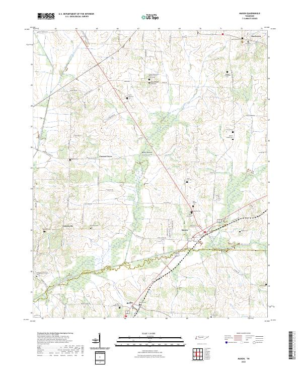
2022 Map of Mason
USGS Topo · Published 2022About this map
Mason and its surrounding communities are defined by the intricate canal systems and lowland drainages that manage the western Tennessee landscape. The Little Beaver Cr Canal, Middle Beaver Cr Canal, and E Beaver Cr Canal illustrate a significant history of hydrological engineering designed to reclaim the fertile bottomlands, such as Baxter Bottom, for agriculture. These waterways converge near the border of Tipton Co and Fayette Co, anchoring the rural economic life of the region.
Find a feature on this map
83 named features on this map. Tap any name to fly to it.
Don’t see what you’re looking for? This feature index may not catch every label — zoom into the map to look around manually.
Map Details
Editions of this 2022 Mason Map
This is the sole edition of this map. No revisions or reprints were ever made.
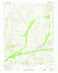
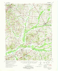
Historical Maps of Mason Through Time
4 maps found