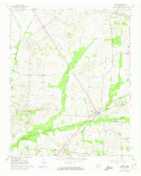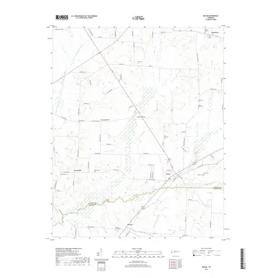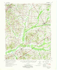
1969 Map of Mason
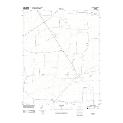
USGS Topo · Published 1969About this map
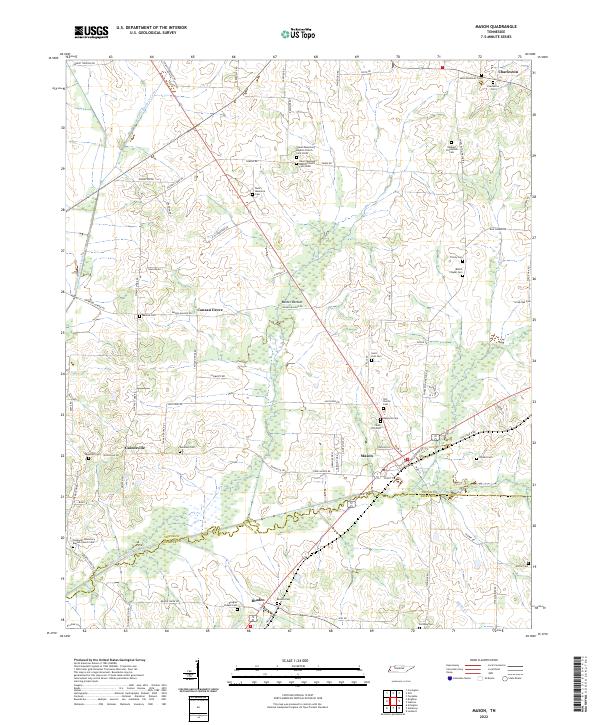
Mason and Arlington serve as the primary hubs in this West Tennessee landscape, anchored by the Louisville and Nashville railroad corridor. The area is defined by a complex network of waterways, including the Loosahatchie River and extensive channelization projects like the Beaver Creek Canal and Indian Canal, reflecting a managed agricultural environment. Social and community life in the late 1960s is mapped through numerous rural schools and houses of worship, such as Barret Chapel High Sch and the Dunlap Orphanage.
Find a feature on this map
89 named features on this map. Tap any name to fly to it.
Don’t see what you’re looking for? This feature index may not catch every label — zoom into the map to look around manually.
Map Details
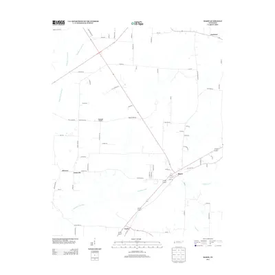
Editions of this 1969 Mason Map
This is the sole edition of this map. No revisions or reprints were ever made.
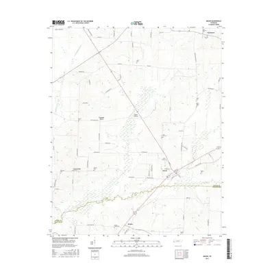
Historical Maps of Lakeland Through Time
8 maps found