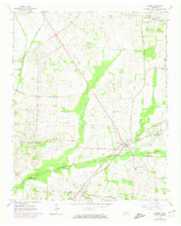
1965 Map of Mason
USGS Topo · Published 1974About this map
The Louisville and Nashville railroad anchors this West Tennessee landscape, cutting diagonally through the junction of Tipton and Fayette Counties. At its center, the town of Mason serves as a hub for the surrounding agricultural community, where the land is marked by an extensive drainage system including the Beaver Creek Canal and Baxter Bottom. This 1960s survey, with 1973 photorevisions, reveals a dense network of local institutions essential to rural life, such as St Matthews Sch, Douglas Chapel, and several family-named landmarks like Pipkins Cem. The map captures the transition of smaller settlements like Charleston and Braden before modern infrastructure changes, while maintaining the specific locations of rural gathering places like Beech Chapel and Ebenezer Ch.
Find a feature on this map
34 named features on this map. Tap any name to fly to it.
Don’t see what you’re looking for? This feature index may not catch every label — zoom into the map to look around manually.
Map Details
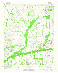
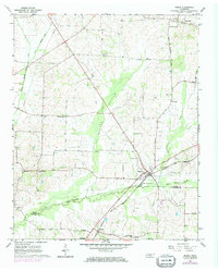
Editions of this 1965 Mason Map
3 editions found
Other maps of this area

1952 · Stanton
USGS Topo · 1:24,000

1952 · Lambert
USGS Topo · 1:24,000

1952 · Stanton
USGS Topo · 1:62,500

1954 · Mason
USGS Topo · 1:62,500

1956 · Blytheville
USGS Topo · 1:250,000

1959 · Blytheville
USGS Topo · 1:250,000

1961 · Rialto
USGS Topo · 1:62,500

1962 · Rialto
USGS Topo · 1:62,500
1964 · Turnpike
USGS Topo · 1:24,000

1965 · Brighton
USGS Topo · 1:24,000