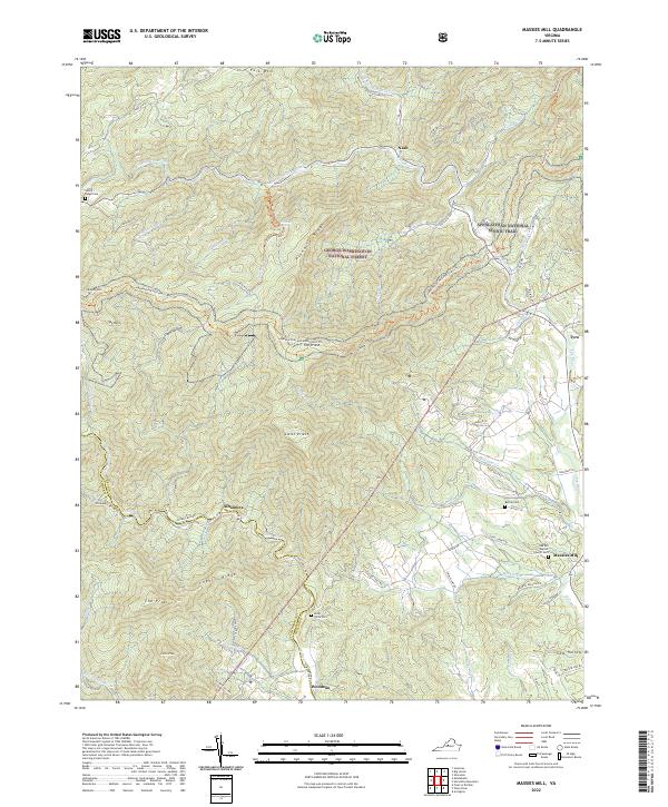
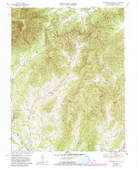
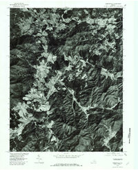
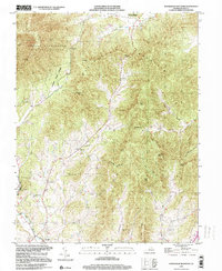
2022 Map of Massies Mill
USGS Topo · Published 2022About this map
Massies Mill and the surrounding Nelson County heights are defined by the steep transition from the Tye River valley to the high peaks of the George Washington National Forest. The landscape is dominated by prominent summits including The Priest, The Friar, and Fork Mtn, with the Appalachian National Scenic Trail traversing the ridgelines. Small mountain communities such as Alhambra, Nash, and Woodson are linked by winding routes like State Rte 687 and Jack's Hill Rd. Local history is preserved in sites like the Oak Hill Baptist Church and several family or community burial grounds, including the Kirby Tyree Cem and Bethel Cem. The drainage network is dense, featuring the iconic Crabtree Falls and numerous branches like Shoe Cr and Silver Cr that feed into the larger river systems.
Find a feature on this map
78 named features on this map. Tap any name to fly to it.
Don’t see what you’re looking for? This feature index may not catch every label — zoom into the map to look around manually.
Map Details
Editions of this 2022 Massies Mill Map
This is the sole edition of this map. No revisions or reprints were ever made.
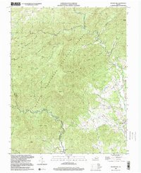
Historical Maps of Tyro Through Time
10 maps found
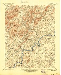
1892 Buckingham
Nelson County, VA
1965 Massies Mill
Nelson County, VA
1967 Greenfield
Nelson County, VA
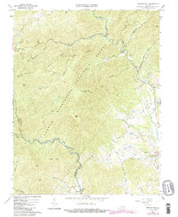
1967 Horseshoe Mountain
Nelson County, VA
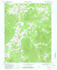
1979 Greenfield
Nelson County, VA
1999 Horseshoe Mountain
Nelson County, VA
1999 Massies Mill
Nelson County, VA
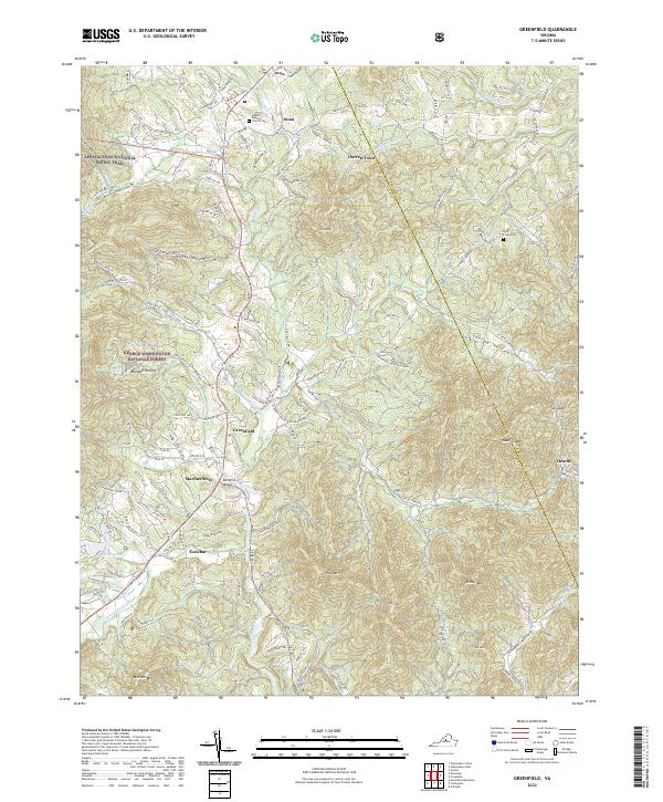
2022 Greenfield
Nelson County, VA
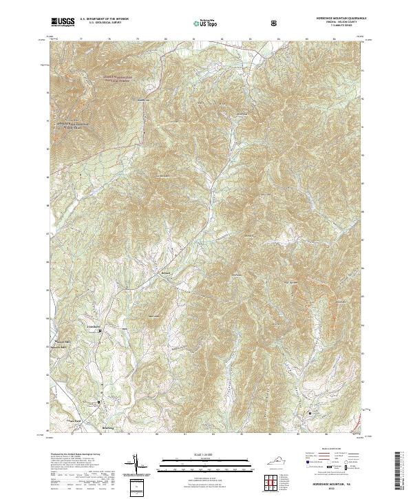
2022 Horseshoe Mountain
Nelson County, VA
2022 Massies Mill
Nelson County, VA