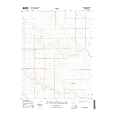
2016 Map of Matheson SW
USGS Topo · Published 2016About this map
Middle Rush Creek and its southern counterpart, South Rush Creek, wind through this section of the High Plains, carving subtle drainages across a landscape defined by the Public Land Survey System. The map reveals a strictly organized grid of county roads, including Co Rd 149 and Co Rd 157, which serve the dispersed agricultural interests of this region. This 2016 survey illustrates how modern infrastructure adapts to the ancient watercourses of the Antelope Cr basin, where the terrain gently rolls between five-thousand and six-thousand feet in elevation. The absence of concentrated town centers highlights the sprawling, rural nature of Elbert County, where section lines and range boundaries like t11s r59w dictate the movement of travelers and the division of land.
Find a feature on this map
23 named features on this map. Tap any name to fly to it.
Don’t see what you’re looking for? This feature index may not catch every label — zoom into the map to look around manually.
Map Details
Editions of this 2016 Matheson SW Map
This is the sole edition of this map. No revisions or reprints were ever made.
Other maps of this area

1889 · Sanborn
USGS Topo · 1:125,000

1891 · Sanborn
USGS Topo · 1:125,000

1891 · Limon
USGS Topo · 1:125,000

1892 · Limon
USGS Topo · 1:125,000

1893 · Sanborn
USGS Topo · 1:125,000

1893 · Big Springs
USGS Topo · 1:125,000

1953 · Denver
USGS Topo · 1:250,000

1954 · Limon
USGS Topo · 1:250,000

1954 · Lamar
USGS Topo · 1:250,000

1954 · Pueblo
USGS Topo · 1:250,000