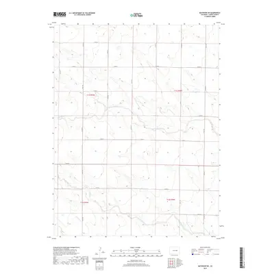
2019 Map of Matheson SW
USGS Topo · Published 2019About this map
Middle Rush Creek and South Rush Creek define the drainage patterns across this section of Elbert County, carving through a landscape primarily organized by the Public Land Survey System. The map reveals a rigid grid of rural roads, such as Co RD 66 and Co RD 149, which follow township and range lines across t11s r59w and surrounding blocks. This late-2010s survey illustrates a modern ranching or agricultural environment where natural watercourses like Antelope Cr provide the only deviation from the geometric precision of the county road network. The lack of concentrated settlements or named townsites emphasizes the vast, open character of the High Plains, where movement is dictated by long-distance connectors like Co RD 54.
Find a feature on this map
23 named features on this map. Tap any name to fly to it.
Don’t see what you’re looking for? This feature index may not catch every label — zoom into the map to look around manually.
Map Details
Editions of this 2019 Matheson SW Map
This is the sole edition of this map. No revisions or reprints were ever made.
Other maps of this area

1889 · Sanborn
USGS Topo · 1:125,000

1891 · Sanborn
USGS Topo · 1:125,000

1891 · Limon
USGS Topo · 1:125,000

1892 · Limon
USGS Topo · 1:125,000

1893 · Sanborn
USGS Topo · 1:125,000

1893 · Big Springs
USGS Topo · 1:125,000

1953 · Denver
USGS Topo · 1:250,000

1954 · Limon
USGS Topo · 1:250,000

1954 · Lamar
USGS Topo · 1:250,000

1954 · Pueblo
USGS Topo · 1:250,000