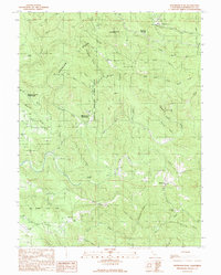
1991 Map of Mathison Peak
USGS Topo · Published 1991About this map
Jackson State Forest dominates this section of the Mendocino coastline, where the landscape is defined by a dense network of gulches and ridges inland from the Pacific. The presence of the Mendocino Woodlands Outdoor Center and the Parlin Fork Conservation Camp suggests a region dedicated to conservation and public land management in the early 1990s. The topography is anchored by Mathison Peak and the high point at Observatory Hill, with the Big River and Albion River carving deep drainage systems through the timberland.
Find a feature on this map
44 named features on this map. Tap any name to fly to it.
Don’t see what you’re looking for? This feature index may not catch every label — zoom into the map to look around manually.
Map Details
Editions of this 1991 Mathison Peak Map
This is the sole edition of this map. No revisions or reprints were ever made.
Other maps of this area

1920 · Glenblair
USGS Topo · 1:62,500

1920 · Fort Bragg
USGS Topo · 1:62,500

1943 · Glenblair
USGS Topo · 1:62,500

1943 · Fort Bragg
USGS Topo · 1:62,500

1943 · Albion
USGS Topo · 1:62,500

1943 · Navarro
USGS Topo · 1:62,500

1944 · Saddle Point
USGS Topo · 1:62,500

1957 · Ukiah
USGS Topo · 1:250,000

1960 · Ukiah
USGS Topo · 1:250,000
1960 · Elk
USGS Topo · 1:24,000